
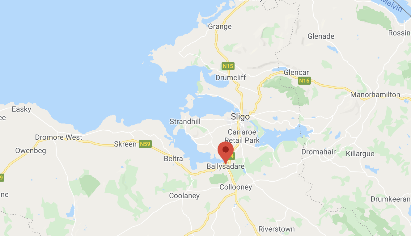
Ballisodare (or Ballysadare), from the Irish meaning “town of the waterfall of the oak”, is a village in County Sligo.
The settlement developed on an important crossing of the Owenmore River.
It is a possible location for the town noted as Nagnata on Claudius Ptolemy’s 2nd century CE co-ordinate map of the world.
Ballisodare was anciently a major gathering place for all surrounding districts.
It is the site of an ancient silver and lead mine, re-opened and worked in the 19th and 20th century. It is now the site of a quarry.
If you would like to add any information or to advertise your business, please get in touch to feature on our website and in our ‘WanderPast the Wild Atlantic Way’ guide.