
The Burren, from the Irish meaning “great rock”, is a region of primarily northwestern County Clare, dominated by glaciated karst landscape.
The area covers between 250 square kilometres (97 sq mi) and 560 square kilometres (220 sq mi).
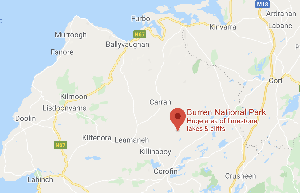
Part of the Burren forms the Burren National Park, which is the smallest of the six National Parks in Ireland.
The Burren is known for its remarkable variety of plants and animals, with over 70% of Ireland’s species of flowers are found there.
Due to the unusual environment, the region supports Arctic–alpine and Mediterranean Basin plants side-by-side.
The most common type of prehistoric structure in The Burren is the late-Neolithic/early-Bronze Age wedge tomb, which dates to the period between 2500 to 2000 BC.
Most of the Burren is designated as a Special Area of Conservation, while there are also designated Areas of Scientific Interest and Natural Heritage Areas.
The Burren is popular with walkers, with trails including the Cliffs of Moher Coastal Walk and the Burren Way, which is often taken over a five day period.
If you would like to add any information or to advertise your business, please get in touch to feature on our website and in our ‘WanderPast the Wild Atlantic Way’ guide.