
Wikimedia Commons / CC-BY-SA-3.0 / GFDL
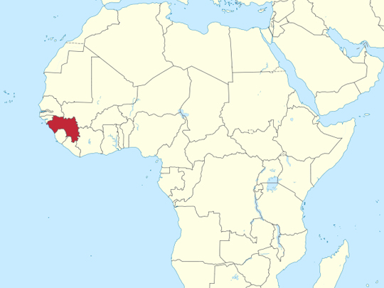
Capital: Conakry
Population: 14 million+
Language: French, Pular, Maninka, Susu
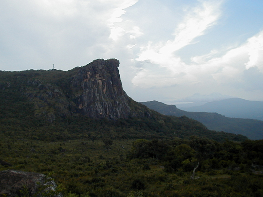
1 – Mount Loura (above)
Mount Loura, at around 1,500 m the highest peak of the Fouta Djallon in northern Guinea, rises above highlands known as the “water tower of West Africa”, where the Senegal and Gambia rivers rise and the Tinkisso flows off to join the Niger.
The cool, green highlands around Mount Loura feel a world away from the coast, a plateau of gorges, waterfalls and Fula villages sometimes called the “Switzerland of West Africa”, best explored on foot from the market town of Mali.
The mountain’s most famous feature is the Dame de Mali, a rock face first noticed in 1937 that erosion has shaped into the profile of a woman gazing over the plains, and local legend tells of an unfaithful wife turned to stone.
2 – Cascades de la Soumba
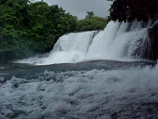
The Cascades de la Soumba tumble down the Soumba River near Dubréka, an easy day trip north-east of Conakry and a favourite weekend escape for city-dwellers.
At the Soumba falls the river slips down a broad staircase of rock into pools for swimming, at their fullest after the rains and dwindling in the dry months.
The falls lie below the Kakoulima massif, which rises to about 1,000 m, one of the first great heights that travellers see as they leave Conakry behind and head into Guinea’s interior.
3 – Îles de Los
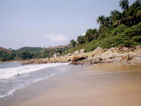
The Îles de Los, a cluster of islands just off Conakry, take their name from the Portuguese Ilhas dos Ídolos, “Islands of the Idols”, and are the capital’s favourite escape, a short pirogue ride to beaches and forested hills.
Hop between the three main islands of the Îles de Los, lively Kassa, quiet Roume and wild Tamara, where long empty beaches are watched over by an old lighthouse.
Long a haunt of slave traders and pirates, the islands were ceded to Britain in 1818 under a treaty arranged by Sir Charles MacCarthy, the Cork-born governor of Sierra Leone, and stayed British until they passed to France in 1904 under the Entente Cordiale.
4 – Mount Nimba Nature Reserve
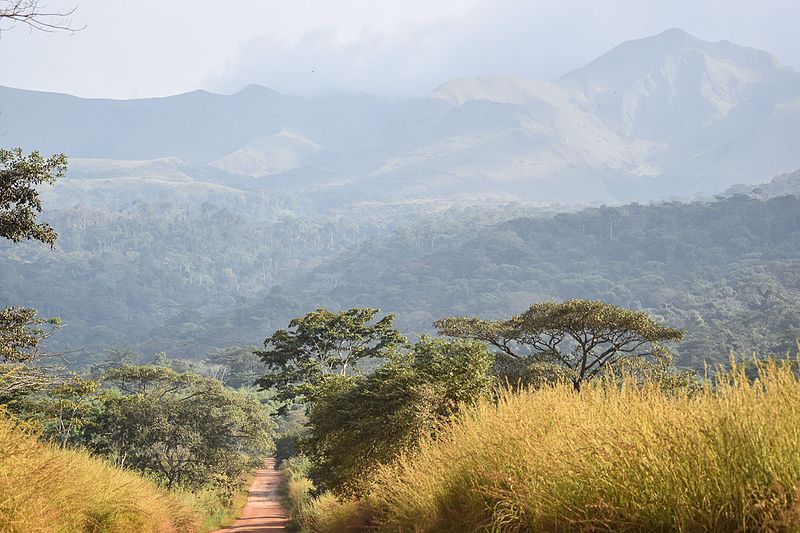
Mount Nimba, at 1,752 m the highest point of both Guinea and Côte d’Ivoire, rises where those two countries meet Liberia, and its strict nature reserve has been a UNESCO World Heritage Site since 1981.
The Nimba reserve climbs from dense rainforest into cool mountain grassland, home to species found nowhere else, among them the Nimba toad, one of the very few amphibians that give birth to live young.
At nearby Bossou, just outside the reserve, chimpanzees crack nuts with stone hammers and anvils, while the iron ore beneath Mount Nimba led UNESCO to place the site on its danger list in 1992.
5 – Conakry
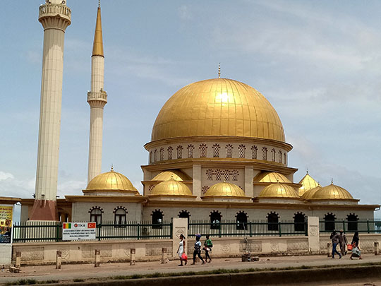
Conakry, founded by the French in the 1880s on Tombo island at the tip of the Kaloum peninsula, became on 2 October 1958 the capital of the only French colony to vote No in de Gaulle’s referendum, and the first of France’s sub-Saharan colonies to win independence.
The Grand Mosque, completed in 1982 and one of the largest in sub-Saharan Africa, has the mausoleum of Ahmed Sékou Touré in its gardens, while Conakry’s port ships out the bauxite of which Guinea holds the world’s largest reserves.
Sékou Touré ruled from independence until 1984, and thousands were imprisoned at Camp Boiro in Conakry, many of them tortured, starved or executed, while France had pulled out in 1958 so fast that it reportedly unscrewed light bulbs and burned medicines rather than leave them.