
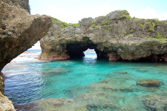
Wikimedia Commons / CC-BY-SA-3.0 / GFDL
Capital: Alofi
Population: under 2,000 (more than 30,000 Niueans live in New Zealand)
Language: Niuean/English
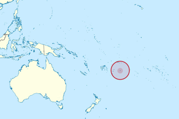
1 – Alofi
The capital sits on the west coast at the only real break in the reef that rings the island, which is why it has always been the landing place, and it is among the smallest capitals anywhere — a strip of village along a bay rather than a town in any usual sense.
Tāoga Niue holds what survives of the national collection, the Sir Robert Rex wharf has no harbour so boats are craned in and out of the water, two former Niuean kings are buried in the grounds of the church, and humpbacks come close inshore in season.
Cook tried to land here in June 1774 and was turned back three times by warriors performing what was almost certainly a formal challenge; he read it as ferocity, sailed off calling the place Savage Island, and the name kept European ships away for the best part of eighty years.
2 – Avaiki Cave
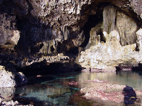
On the northwest coast between Makefu and Tuapa, a track drops through the limestone into a dripstone cave opening onto the reef — by tradition the spot where the first canoe of Polynesian settlers came ashore, which makes it the point where Niue’s whole story starts.
You go down through the cave itself, past stalactites, to a deep clear pool on the reef flat that was once reserved for those of the highest rank and is now open to anyone — though not on Sundays, and only at low tide, since the swell floods the cavity when the water rises.
The name is the giveaway: Avaiki is the local form of Hawaiki, the ancestral homeland that runs right through Polynesian tradition — the same word that gives Hawai’i its name, that Raiatea in French Polynesia was once called, and that Māori voyaging traditions name as the place the canoes came from.
3 – Matapa Chasm
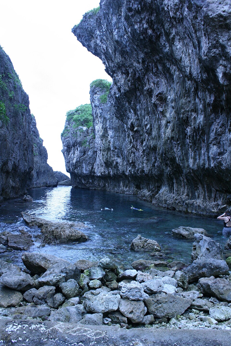
A little further up the northwest coast near Hikutavake, Matapa is a cleft in the cliffs about ten metres wide with a channel of clear water running into it, and it was kept as the private bathing place of Niue’s kings.
A short shaded walk from the road brings you to the water, which is sheltered from the swell and calm enough for easy swimming and snorkelling, and the same track branches off to the Talava Arches half an hour further along the coast.
The water here is startlingly cold because it is partly fresh: Niue has not a single river or stream anywhere on it, since rain falls straight through the porous limestone and travels underground, and places like Matapa are where it finally comes out and meets the sea.
4 – Togo Chasm
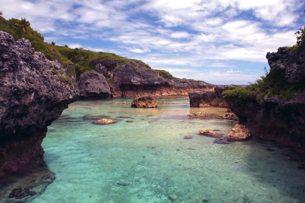
On the east coast near the village of Hakupu, at the edge of the Huvalu forest, Togo is the strangest landscape on an island already made of strange ones — a field of razor-sharp fossil coral pinnacles standing over the ocean, with a hidden chasm cut down through the middle of it.
The walk in takes half an hour through rainforest before the trees stop and the pinnacles begin, then a steep concrete path threads between them to a wooden ladder that drops a couple of storeys into the chasm, where a strip of golden sand supports a dozen coconut palms whose tops barely reach the rim.
The forest behind this coast is dark enough that in 2020 it was accredited as an International Dark Sky Sanctuary, and with the villages on the other side of the island certified too, Niue became the first entire country in the world to be recognised for the quality of its night sky.