
Wikimedia Commons / CC-BY-SA-3.0 / GFDL
Capital: Little Rock
Population: 3.1 million+
Language: English
1 – Little Rock
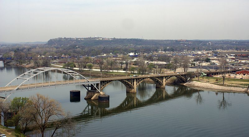
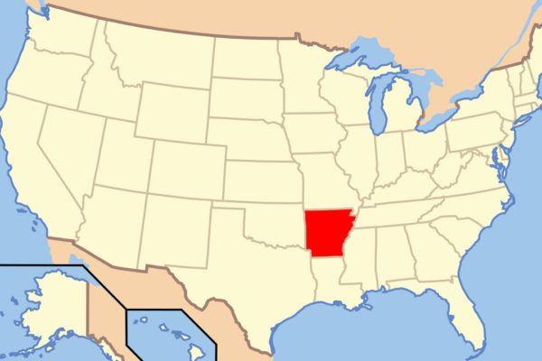
Little Rock, Arkansas’s capital since territorial days in 1821, sits where the Arkansas River leaves the hills for the flat Delta, and takes its name from a small rock ledge on the south bank that French travellers called le Petit Rocher to tell it from a bigger bluff upstream — most of it was later quarried away for bridge piers.
In Little Rock you can see the Old State House, begun in 1833 and generally called the oldest surviving state capitol west of the Mississippi, where Bill Clinton held both his presidential election-night celebrations, then walk or cycle the Arkansas River Trail over the Big Dam Bridge, one of the longest bridges in North America built only for people on foot and bike.
In September 1957 Governor Orval Faubus used the National Guard to keep nine Black students out of Little Rock Central High School, until President Eisenhower sent in the 101st Airborne to escort them inside — and Central High is still a working school, the only one in the US that is also a National Historic Site.
2 – Hot Springs National Park
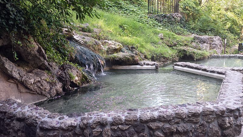
Hot Springs National Park sits in the Ouachita Mountains of central Arkansas, where Congress set aside the springs as a federal reservation on 20 April 1832, 40 years before Yellowstone, and it became a national park in 1921, with water emerging at about 143°F (62°C) from rain that geologists reckon fell around 4,000 years ago.
Hot Springs’ Bathhouse Row is a line of eight grand bathhouses built from 1892 to 1923, with the Fordyce now the park’s visitor centre and the Buckstaff and Quapaw still running baths — and anyone can fill a bottle with spring water for free at the public fountains.
In the 1930s Hot Springs ran on illegal gambling until state police shut it down in 1967, and the gangster who retired here, Owney Madden, was born in Leeds to Irish parents, while baseball teams came for spring training from 1886, which is how Babe Ruth came to hit a home run on St Patrick’s Day 1918 that, by later estimates, travelled about 573 feet and landed in an alligator farm.
3 – Mount Magazine State Park
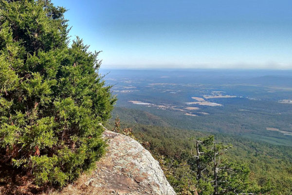
Mount Magazine is the highest point in Arkansas at 2,753 feet (839 m), a flat-topped sandstone mesa rising above the Arkansas River Valley between the Ozarks and the Ouachitas, and its name is said to come from French hunters who thought it looked like a magasin, a barn or storehouse.
At Mount Magazine State Park, dedicated in 2002, you can hike to Signal Hill, the summit, hang-glide or rock-climb off the south-facing bluffs, take in the view from Cameron Bluff, and stay at the 60-room lodge built in 2006 to replace a 1930s one that burned in 1971.
Mount Magazine is often billed as the highest point between the Rockies and the Appalachians, a slogan going back at least to 1898 that isn’t true — Oklahoma’s Black Mesa is far higher — but the mountain does hold 94 of Arkansas’s 134 butterfly species, including the Diana fritillary, the state butterfly.
4 – Eureka Springs
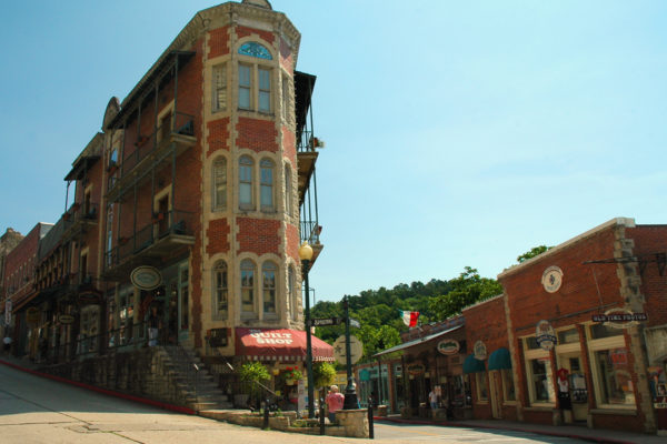
Eureka Springs is a Victorian spa town in the Ozark Mountains of northwest Arkansas, founded in 1879 when stories of healing springs drew thousands of people to a steep valley, and the whole town has been on the National Register of Historic Places since 1970.
Eureka Springs’ streets wind around the hillsides so steeply that few meet at right angles, past the 1886 Crescent Hotel, which bills itself as America’s most haunted hotel, and out in the woods is E. Fay Jones’s Thorncrown Chapel of 1980, 48 feet high with 425 windows, ranked fourth in a 1991 poll of American architects’ favourite US buildings.
St Elizabeth’s Catholic Church, said to be the only church you enter through its bell tower, was built by Richard Kerens, born in Kilberry, Co. Meath, as a memorial to his mother, and the Crescent’s darkest chapter came in 1937, when the fraudster Norman Baker turned it into a “cancer hospital” offering fake cures until his conviction for mail fraud in 1940.
5 – Garvan Woodland Gardens
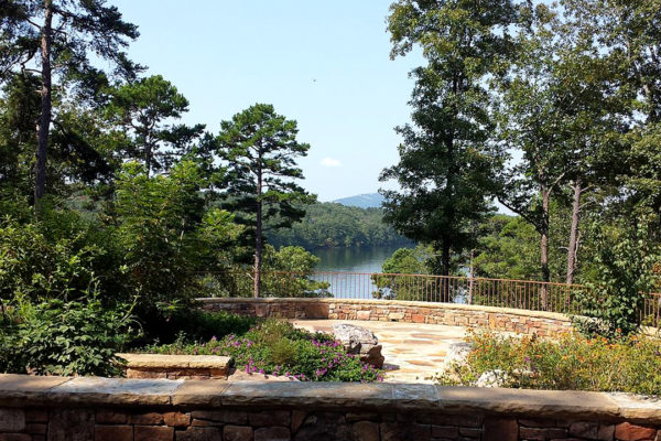
Garvan Woodland Gardens covers 210 acres of wooded peninsula on Lake Hamilton in Hot Springs, given to the University of Arkansas from 1985 by Verna Cook Garvan, whose father ran a lumber company that owned the land, and it opened to the public in 2002.
Garvan Woodland Gardens’ trails wind past azaleas, a Japanese garden and waterfalls, a children’s tree house, and the Anthony Chapel of 2006, 57 feet of wood, glass and stone by Maurice Jennings and David McKee, partners of the Arkansas architect E. Fay Jones.
Every winter from late November the Holiday Lights fill the woods with millions of bulbs, and the land itself is an accident of engineering: the Cook family’s woods became a peninsula only when Carpenter Dam created Lake Hamilton in the early 1930s.
6 – Fayetteville
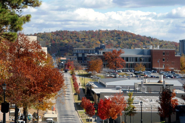
Fayetteville, in the Ozark hills of northwest Arkansas, is the home of the University of Arkansas, founded in 1871, which began classes the next year with eight students, and its football team has been the Razorbacks since a coach said in 1909 they’d played “like a wild band of razorbacks”.
In Fayetteville you can visit the Clinton House Museum, where Bill and Hillary Clinton married in the living room on 11 October 1975, see the university’s 1875 Old Main, eat and drink along Dickson Street, and visit Headquarters House, the centre of the Civil War skirmish fought in town on 18 April 1863.
Bill Clinton bought the Fayetteville house for $17,200 after Hillary mentioned she liked it, then proposed — and the region has boomed since, with Walmart’s home in Bentonville nearby and Crystal Bridges Museum of American Art, free to enter, opening there in 2011.
7 – Clinton Presidential Library
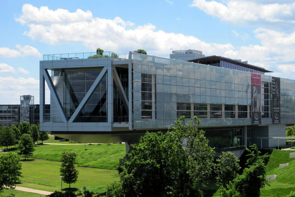
The Clinton Presidential Library is on the Arkansas River in downtown Little Rock, opened in the rain on 18 November 2004 with four presidents present, and honours Bill Clinton, born William Jefferson Blythe III in Hope, Arkansas, in 1946, who was governor of the state for 12 years before becoming president.
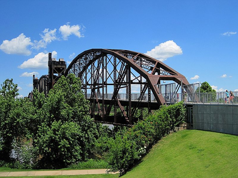
The Clinton Presidential Library, designed by James Polshek, juts out over the river like a bridge — a nod to Clinton’s slogan of a “bridge to the 21st century” — with full-size copies of the Oval Office and Cabinet Room and an archive of about 78 million pages and 20 million emails, beside the 1899 Rock Island railway bridge, now a footbridge.
For Irish visitors, the library’s online exhibit “Days Like This”, named after the Van Morrison song, covers Clinton’s trip of November 1995, the first by a sitting US president to Northern Ireland, when he shook hands with Gerry Adams on the Falls Road, spoke in Derry and switched on the Christmas tree lights at Belfast City Hall.
8 – Crater of Diamonds State Park
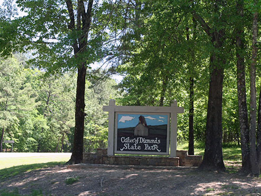
Crater of Diamonds State Park, near Murfreesboro in southwest Arkansas, sits on the eroded top of a volcanic pipe about 100 million years old, where farmer John Huddleston found the first diamonds in 1906 — and every company that tried to mine it commercially afterwards failed to make it pay.
At Crater of Diamonds you pay about $15 to search a ploughed 37-acre field, the surface of the old crater, with a bucket, a shovel and a sieve, and whatever you find, white, yellow or brown, you keep, with the park’s Diamond Discovery Center on hand to identify it.
The park calls itself the only diamond-producing site in the world where the public can search and keep what they find, and it’s produced the 40.23-carat Uncle Sam of 1924, the largest diamond ever found in the US, and the uncut 4.25-carat Kahn Canary that Hillary Clinton wore to her husband’s inaugural ball in 1993.
9 – Pea Ridge National Military Park

Pea Ridge National Military Park, in the Ozark hills of northwest Arkansas near the Missouri line, protects the battlefield where about 27,000 troops fought on 7–8 March 1862, a Union victory that kept Missouri in the Union for the rest of the Civil War.
Pea Ridge’s 7-mile tour road runs past Elkhorn Tavern, rebuilt on its original site after the war, and Leetown, where the Confederate generals Ben McCulloch and James McIntosh were both killed on the first day, and along segments of the old Telegraph Road, also a route of the Cherokee Trail of Tears in 1837–39.
Pea Ridge was unusual even by Civil War standards: more than half the Union men were German immigrants under Franz Sigel, while two Cherokee regiments, one led by Stand Watie, fought for the Confederacy alongside Choctaw, Creek, Chickasaw and Seminole troops — on ground the Cherokee had crossed on the Trail of Tears only a quarter of a century before.
10 – Rohwer and Jerome Internment Camps

Rohwer and Jerome, in the cotton country of the Arkansas Delta, were the easternmost of the ten camps where the US government held Japanese Americans in World War II under Executive Order 9066, holding about 8,500 people each at their peak, most of them US citizens forced from their homes in California — and, at Jerome, more than 800 from Hawaii.
Little remains of Rohwer and Jerome except Jerome’s hospital smokestack and Rohwer’s cemetery, a National Historic Landmark, where a concrete tank built by an incarceree in 1945 honours Rohwer’s soldiers killed fighting for the US Army in Europe, and the WWII Japanese American Internment Museum in nearby McGehee, with audio narrated by George Takei, who was held at Rohwer as a child.
When Jerome closed in June 1944 it became a prisoner-of-war camp for German soldiers, who were allowed out to work on local farms when Japanese Americans released in Arkansas were not — and in 1988 Congress formally apologised, paying $20,000 to each surviving incarceree.