

Maria Michelle / CC-BY-SA-3.0 / GFDL

Capital: Willemstad
Population: 155,000+
Language: Papiamentu/Dutch/English
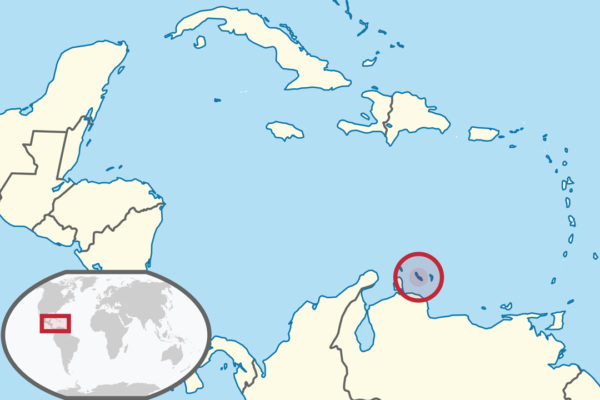
1 – Willemstad (also above)
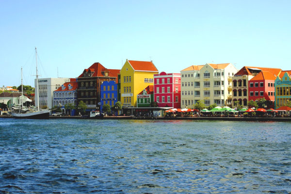
Curaçao’s capital grew around a deep natural harbour taken by the Dutch West India Company in 1634, and became the company’s Caribbean headquarters — a fortified trading city that was also, for well over a century, the main slave-trading depot in the region.
The postcard is the Handelskade, a row of gabled merchant houses in ochre, red and blue facing the water at Punda; cross to Otrobanda on the Queen Emma pontoon bridge, which swings aside on its own engines whenever a ship needs through.
Those colours date from 1817, when the governor banned white facades to cut the glare — and the story that he really did it because the glare gave him migraines is a local legend nobody has ever proved.
2 – Landhuis Kenepa
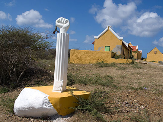
On a hill in the island’s dry west end stands a plantation house that was once among Curaçao’s richest estates, and the place where, in August 1795, an enslaved man named Tula began the largest slave revolt in the island’s history.
The house is now the Tula Museum, telling the story of the rebellion and of the people who lived and worked here; go with the guided tour, since the labelling is mostly in Dutch and Papiamentu.
Tula marched from estate to estate freeing people as he went, held out for over a month, and was betrayed, captured and tortured to death — and it took the Netherlands more than two centuries to formally rehabilitate him as a national hero.
3 – Christoffel National Park
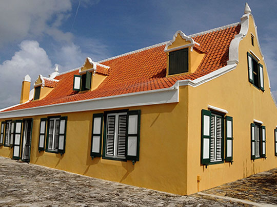
The north-west of the island is a national park assembled from three old plantations, rising to Mount Christoffel, at around 375 metres the highest point on Curaçao.
Two driving routes and eight walking trails run through cactus and scrub past old copper workings and plantation ruins; the summit hike takes two to three hours, and rangers want you starting by ten in the morning.
The northern route leads to caves painted by the Caquetío, the Arawak people who were here before the Europeans — and the park entrance is the Savonet plantation house, now a museum that tells the island’s story from the point of view of the people enslaved on the estate as well as those who owned it.