
Department of Foreign Aff / Wikimedia Commons / CC-BY-SA-3.0 / GFDL
Capital: Funafuti
Population: 10,000+
Language: Tuvaluan/English
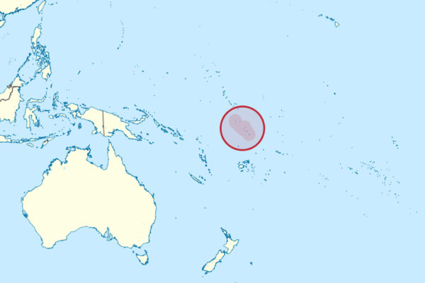
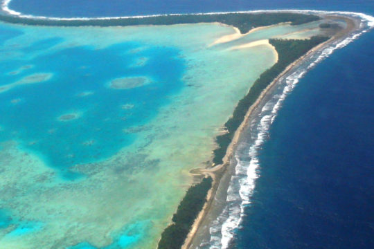
1 – Funafuti (also above)
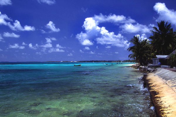
The capital is not a town but a whole atoll: a ring of 33 islets around a lagoon, with most of the country’s people living on Fongafale, a strip of sand that is 12 km long and in places barely 20 metres wide between the ocean and the lagoon.
Government, the hospital, the hotel and the wharf are all on the lagoon side at Vaiaku, the women’s handicraft centre sells pandanus weaving beside the terminal building, and the whole of it can be walked in a morning.
The airport runway, built by American Seabees in 1943 and never fenced since, is the island’s park: every evening it fills with football, volleyball, motorbikes and families sitting out in the cool, and it empties only when a fire engine sounds its siren for one of the handful of flights each week.
2 – Funafuti Conservation Area
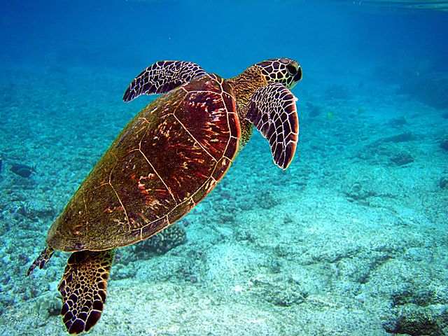
Six uninhabited islets and the reef, lagoon and channel around them on the western rim of the atoll, protected since the late 1990s at the request of the Funafuti council and covering 33 square kilometres — more, as it happens, than the entire dry land area of Tuvalu.
Boats run across the lagoon from Fongafale for the day; green turtles nest on the islets, Fualopa holds a breeding colony of black noddies, coconut crabs work the undergrowth, and there is nothing built anywhere in it.
Tepuka Vili Vili shows what an atoll islet actually is: a cyclone in 1997 stripped it of every tree and most of its sand, and over the last century the same islet has grown some 170 metres longer, 120 metres narrower and rotated its position on the reef — these islands are less places than piles of sediment being constantly rebuilt.
3 – Te Namo
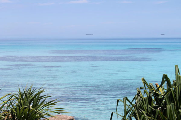
Te Namo, the lagoon inside Funafuti atoll, covers about 275 square kilometres and is by far the largest in the country — the 33 islets ringing it add up to 2.4 square kilometres of land between them, under one per cent of the atoll’s total area.
It is deep and wide enough for cargo ships to enter and berth at Fongafale, which is how almost everything in Tuvalu arrives, and in 1943 the Americans used it as a fleet anchorage while preparing the assault on Tarawa.
Between 1896 and 1898 the Royal Society sent three expeditions here to settle Darwin’s theory that atolls grow on slowly sinking volcanic foundations: they drilled 340 metres down through the rim and found nothing but coral all the way, still short of the bottom, and the marked borehole is known to this day as David’s Drill.
4 – Vaitupu
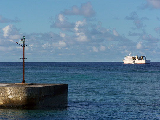

The largest island in Tuvalu by land area, about 100 km north of Funafuti, Vaitupu holds roughly a tenth of the national population and Motufoua, the country’s main secondary school, in the village of Asau.
It is a low, wooded island around two lagoons with no hotel and no regular flights, reached by the inter-island ship, and the pace of it is what people who have been there talk about afterwards.
Vaitupu men worked for the American forces during the war, and in 1946 the island pooled the wages and bought an entire island outright — Kioa, in northern Fiji, about 1,200 km away — because they could see the atoll would not hold their grandchildren; thirty-seven settlers sailed there in 1947, and their descendants, several hundred of them, still live on Kioa today.