
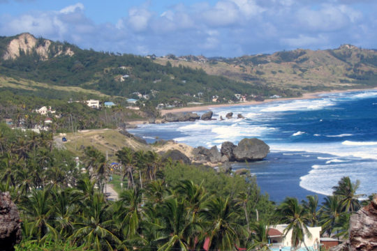
Wikimedia Commons / CC-BY-SA-3.0 / GFDL
Capital: Bridgetown
Population: 270,000+
Language: English/Bajan Creole
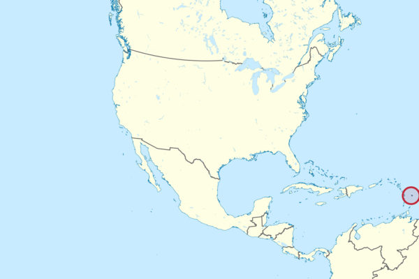
1 – Bathsheba (also above)
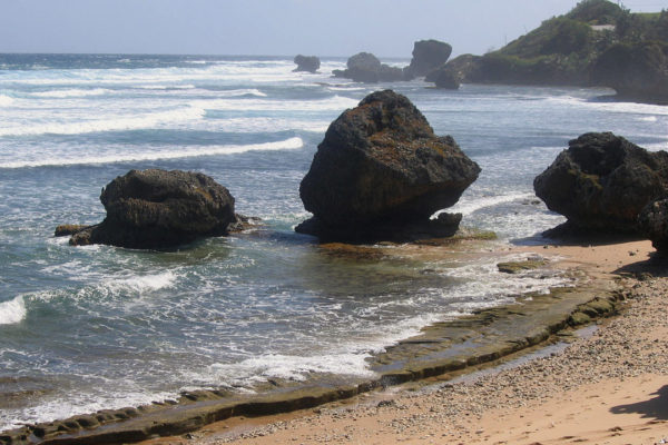
A fishing village on the wild Atlantic east coast, Bathsheba sits below the Scotland District, the one corner of this flat limestone island where the rock has crumbled into hills — named for a supposed resemblance to the Scottish Highlands.
Huge mushroom-shaped boulders, broken off an ancient coral reef, stand out of the sand; don’t swim, but do sit in the shallow rock pools with a drink, and watch the surfers at the Soup Bowl, widely rated the best break in the Caribbean.
The village is named, so the story goes, after King David’s wife, who was said to bathe in milk — the foaming white Atlantic surf here being the closest thing Barbados had.
2 – Bridgetown
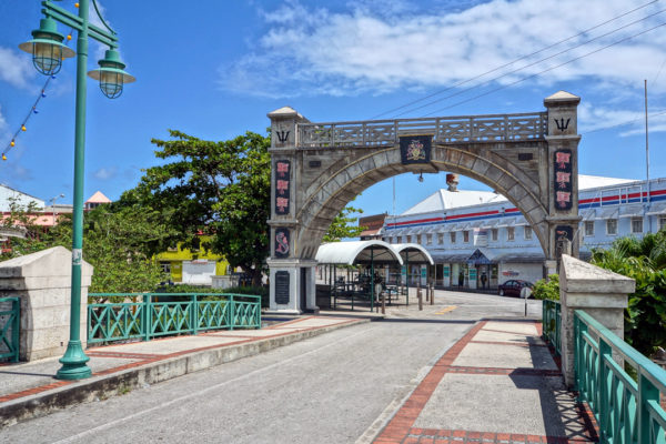
Barbados’s capital grew up around a harbour on the south-west coast from 1628 and became one of the great hubs of the British Atlantic, an entrepôt for sugar and for enslaved Africans; the town and the Garrison south of it are now a UNESCO World Heritage Site.
The old streets wander like a medieval English town rather than a colonial grid, and you can take in the neo-Gothic Parliament buildings, the Careenage full of yachts, and the Garrison’s forts and racecourse.
Barbados sat in that Parliament from 1639, making it one of the oldest in the hemisphere, and on 30 November 2021 the island dropped the British monarch and became a republic — naming Rihanna, born a few streets away on what’s now Rihanna Drive, a national hero on the same night.
3 – Speightstown
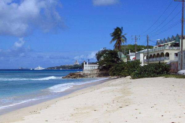
Twelve miles up the west coast from Bridgetown, Speightstown was the island’s first big port, shipping sugar, cotton and enslaved people out to England — so much of it to Bristol that the place was nicknamed Little Bristol.
It’s the least polished of Barbados’s towns in the best way: coral-stone buildings and wooden balconies on Queen and Church Streets, a working fish market, a marina, and Arlington House, a merchant’s mansion now given over to the town’s history.
When Cromwell sent a fleet in 1651 to bring royalist Barbados to heel, the forts here held it off for months; the island only gave in after a defector showed the invaders where to land, and the resulting Charter of Barbados won the colony rights no other had.
4 – Miami Beach
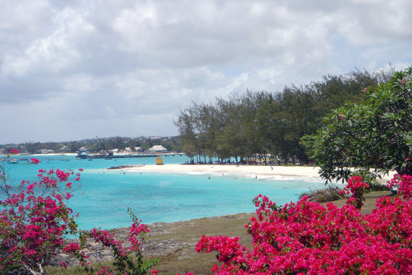
Also called Enterprise Beach, this is a short, sheltered curve of white sand on the south coast just east of Oistins, the fishing town where the Charter of Barbados was signed in a tavern in January 1652.
It’s a locals’ beach — calm water on one side of the headland, choppier on the other, a few benches under the trees and not much else — and Oistins is a ten-minute walk away.
That 1652 charter promised Barbadians they could not be taxed without the consent of their own assembly, a line the American colonies would take up more than a century later — and Oistins now marks it every Easter with a fish festival.
5 – Harrison’s Cave
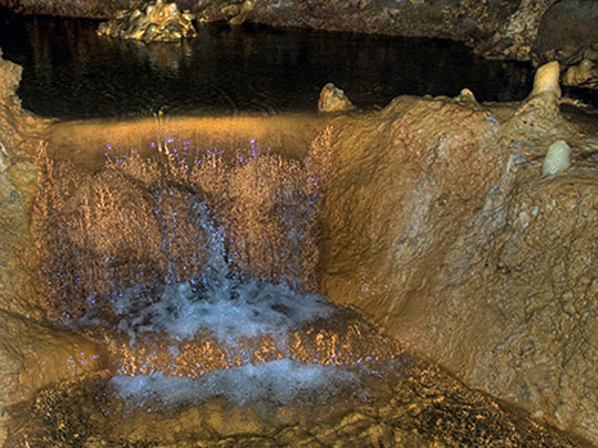
Harrison’s Cave sits under the central uplands of St Thomas, about 700 feet up, in the hilly limestone middle of the island that most visitors never bother with — it appears in documents as far back as the 1790s, then was effectively forgotten for the best part of two centuries.
An electric tram carries you a mile or so underground past stalactites, emerald pools and waterfalls, with a stop at the Great Hall, a chamber tall enough to swallow a house.
The cave was only properly explored and mapped in the 1970s, by a Danish speleologist working with two young Barbadians, Tony Mason and Allison Thornhill, who squeezed in through the narrow natural entrance; the tunnels the trams run through were cut afterwards, and it opened to the public in 1981.
6 – Blowholes
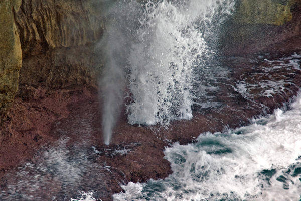
At Little Bay in St Lucy, the island’s empty northern parish, the Atlantic has spent centuries hollowing sea caves out of the limestone cliffs, and now fires spray back out through the holes in the rock above.
Come for the blowholes going off, the jagged low cliffs, and a natural rock pool by the sand that’s safe to swim in when the sea outside is not.
Barbados is a coral island slowly rising out of the sea — about an inch every thousand years — which is why the Animal Flower Cave up the road, carved at sea level, now sits several feet above the tide.