
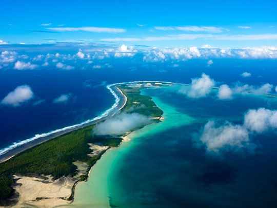
“Leaving Diego Garcia” by Jeff Laitila, CC BY-NC-ND 2.0
Capital: none (administered from London)
Population: no permanent population
Language: English
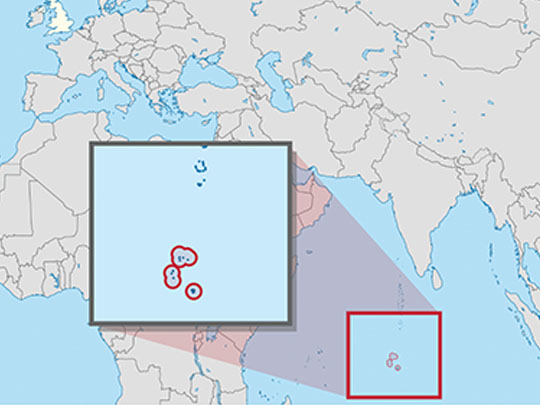
1 – Diego Garcia (also above)
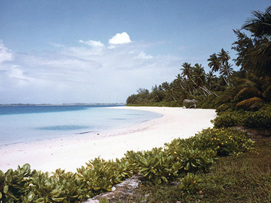
Diego Garcia, the largest and southernmost island of the Chagos, was settled by French planters from Mauritius from the 1780s, passed to Britain with Mauritius in 1814 and was detached in 1965 into the British Indian Ocean Territory, from which its islanders were removed between 1968 and 1973 for a US base built from 1971.
Diego Garcia’s sights include the East Point plantation, with its manager’s house, cemetery and chapel of 1895, the ruins of Minni Minni and Pointe Marianne, the two 6-inch guns of Cannon Point and the wreck of a Second World War Catalina flying boat.
Diego Garcia was an RAF flying-boat base from 1942 until the last Sunderland left on 30 April 1946, and the US base later supported operations in the Gulf War of 1990–91, in Afghanistan in 2001 and in Iraq in 2003.
2 – Peros Banhos
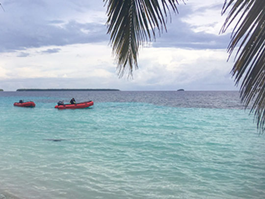
Peros Banhos, a ring of small islets around a wide lagoon in the north of the Chagos, was a coconut plantation run from Île du Coin, and in May 1973 the ship Nordvaer carried its last islanders to Seychelles and Mauritius in the final removal from the archipelago.
Peros Banhos’s sights include the ruined church and jetty of the old plantation headquarters on Île du Coin, its cemetery, the outlying islets and the Strict Nature Reserve on the eastern side of the atoll.
Peros Banhos and the rest of the Chagos were charted by Robert Moresby in 1837, whose survey was used by Charles Darwin, who never visited, in his 1842 book on coral reefs, and Moresby Island in the atoll bears his name.
3 – Salomon Atoll, Boddam
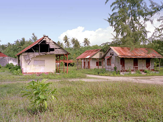
Salomon Atoll, a small atoll in the north of the Chagos, had coconut plantations worked mostly by people brought from Madagascar and Mozambique, with Île Boddam as the centre of its villages until the last residents left for Mauritius in 1973.
Salomon Atoll’s sights include the ruins of Île Boddam, with its overgrown church of 1932, the manager’s house, the boat yard and the cemetery, and the sheltered lagoon entered through the Baie de Salomon pass.
Salomon Atoll lies within the Chagos Marine Protected Area, declared on 1 April 2010, which a UN Law of the Sea arbitral tribunal found in 2015 had been created in breach of the UK’s obligations to Mauritius.