
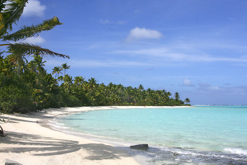
Wikimedia Commons / CC-BY-SA-3.0 / GFDL
Capital: Avarua
Population: 14,000+
Language: English/Cook Islands Maori/ Pukapukan
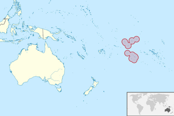
1 – Palmerston Atoll
A ring of small islands around a lagoon some 500 km northwest of Rarotonga, Palmerston is by most accounts the only island in the whole group that Captain Cook himself set foot on, going ashore in 1777 and finding it empty — the name Cook Islands was applied much later by a Russian navigator who admired him.
There is no airstrip and no harbour: a supply ship calls a few times a year and yachts anchor outside the reef, visitors are taken in by boat and adopted by a host family, and life runs between the church, the lagoon and the fishing.
Every permanent resident is descended from one man — William Marsters, an English ship’s carpenter who arrived in 1863 with three Polynesian wives, divided the atoll into three shares and left several hundred descendants — and the couple of dozen people still there speak English as a first language, in an accent that sounds oddly like the West Country of a century and a half ago.
2 – Rarotonga
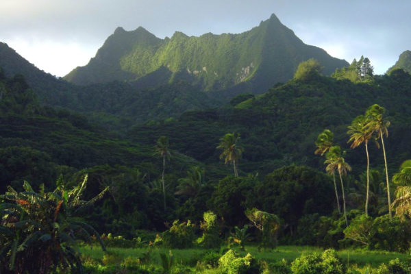
The mountainous main island holds roughly three-quarters of the country’s people along with the capital, Avarua, and has been settled since East Polynesian voyagers arrived well over a thousand years ago — it is remembered in Māori tradition as a departure point for canoes that sailed on to New Zealand.
Two roads ring the island: the coastal Ara Tapu, and inland the Ara Metua, a paved route laid down around the 11th century that is still in daily use, with ancient marae like Arai-te-Tonga alongside it — and the Cross-Island Track climbs through the interior to the spire of Te Rua Manga and down to Wigmore Falls. Muri Lagoon on Rarotonga’s east coast is the most photographed spot in the country.
There is a long-standing rule here, described variously as law and as custom, that no building may stand taller than a coconut palm — which is part of why there are no high-rises, no traffic lights, and a public transport system consisting of two buses, one going clockwise and one going anticlockwise.
3 – Aitutaki
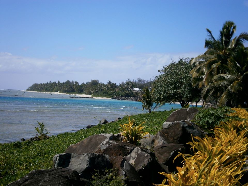
A 45-minute flight north of Rarotonga, Aitutaki is a strip of volcanic land sitting inside an enormous triangular lagoon ringed with small motu; Bligh and the Bounty charted it in April 1789, seventeen days before the mutiny, and it was the first island in the group to take up Christianity, in 1821.
Lagoon cruises are the point of the place — wading the sandflats, snorkelling the reef channels, and stopping at motu including Akaiami, where the jetty survives from the 1950s, when flying boats on the Coral Route between New Zealand and Tahiti set down on the lagoon to refuel.
The most-visited motu is Tapuaetai, or One Foot Island, named for a story about a father who carried his son to leave a single set of prints in the sand, and it holds a hut that is often billed as the world’s smallest post office — bring your passport and they will stamp it with a footprint.
4 – Atiu

Around eight million years old and the third largest island in the group, Atiu is a volcanic core surrounded by a ring of raised fossil coral known as makatea, which is riddled with caves; it is known locally as Enuamanu, the land of the birds.
Guided walks lead into Anatakitaki, a cavern of stalactites, banyan roots and a cold freshwater pool where you can swim by torchlight, and which is one of only two caves anywhere that the kopeka — a tiny swiftlet that navigates in total darkness by clicking, like a bat — nests in.
When missionaries banned drinking in the 19th century, Atiu’s men took their orange brewing into the bush and turned it into the tumunu, a formal drinking club run by a barman with a coconut-shell cup — offenders caught at it were fined in lengths of coral wall, miles of which still stand in the villages, and the tumunu was only made legal again in the 1980s.