
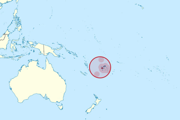
Wikimedia Commons / CC-BY-SA-3.0 / GFDL
Capital: Suva
Population: 950,000+
Language: English/iTaukei/Fiji Hindi
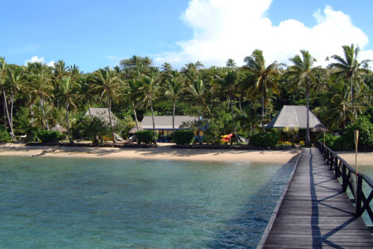
1 – Nananu-i-Ra (above)
A small hilly island off the northern tip of Viti Levu, ten minutes by boat from Ellington Wharf near Rakiraki, it carries the remains of an old hilltop settlement and stone fish traps still visible along the shore.
There are no roads and no towns, just walking tracks over grassy ridges and a handful of lodges, with reliable trade winds making it one of Fiji’s best spots for windsurfing and kiteboarding — and the island narrows to about 200 metres at its waist, so whichever way the wind is blowing, the calm side is a short stroll away.
In Fijian tradition Nananu-i-Ra is a place of departure for the spirits of the dead, who gather here before leaving the world — which is a lot of weight for an island most visitors reach in a small boat carrying a kiteboard.
2 – Suva
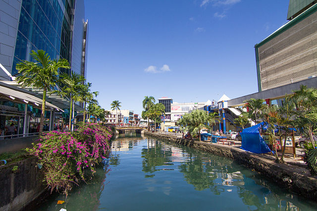
Fiji’s capital sits on a peninsula on the southeast coast of Viti Levu; after the islands were ceded to Britain in 1874 the colonial administration went looking for somewhere with room to grow, and moved here from Levuka in 1882 because Levuka was hemmed in between mountain and sea.
Thurston Gardens holds the Fiji Museum with its great double-hulled drua canoe, the Grand Pacific Hotel on the seafront was built in 1914 to house steamship passengers in the style of an ocean liner, and the covered municipal market is the biggest in the South Pacific.
The museum’s collection includes part of the rudder of HMS Bounty — a long way from where the mutiny happened, though not as far as it sounds, since Bligh’s open-boat voyage afterwards took him straight through these islands, and the stretch of water north of Viti Levu is still called Bligh Water.
3 – Mamanuca
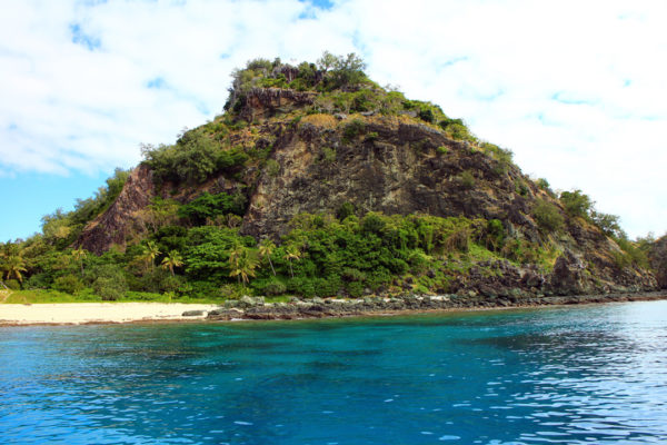
A volcanic chain of around twenty islands strung west of Nadi, close enough to the airport to be Fiji’s most visited group, and traditionally owned by mainland and island villages who still hold the land under customary title.
Day boats and seaplanes run out from Port Denarau to island resorts, the surf break at Cloudbreak off Tavarua is one of the heaviest lefthanders in the world, and the reefs between the islands are shallow, clear and easy to snorkel.
Counting the Mamanucas is harder than it sounds: of the twenty or so islands, roughly seven disappear entirely beneath the Pacific at high tide and surface again as the water drops, which is also why the group has been a favourite location for the American Survivor series since 2016.
4 – Nacula Beach
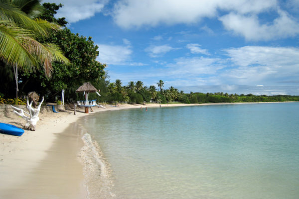
Nacula is the third largest of the Yasawa Islands, a 140 km arc of volcanic islands northwest of Viti Levu, with four villages and a scatter of small resorts clustered around Nalova Bay and the stretch of water known as the Blue Lagoon.
There are no roads, shops or street lights — you arrive by catamaran or seaplane — and the standout excursion is the limestone island of Sawa-i-Lau, where you swim into a domed cavern lit through a hole in the roof, then duck through a short underwater tunnel into a second, darker chamber.
The Yasawas stayed closed to overnight visitors until 1987, held shut by the authority of the group’s high chief: cruise ships had been passing through since the 1950s, but passengers had to stay on board, which is why the islands still feel a generation behind the rest of Fiji’s tourism.
5 – Monu
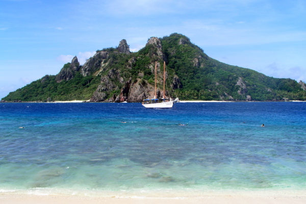
Monu is a small uninhabited island in the southern Mamanucas, about 700 metres from the village island of Yanuya, whose clans hold customary ownership of it and the islands around it.
Nobody lives here and there is nothing built on it, so it turns up on snorkelling and picnic runs from the nearby resorts, with steep green slopes dropping to coral shallows and a couple of small beaches.
Its immediate neighbour is Monuriki, the island where Cast Away was filmed, and since the crew left it has had a second life as a conservation project — Yanuya’s owners and the National Trust cleared out the goats and rats, and captive-bred Fijian crested iguanas, one of the world’s rarest lizards, have been released back into the dry forest.
6 – Kadavu
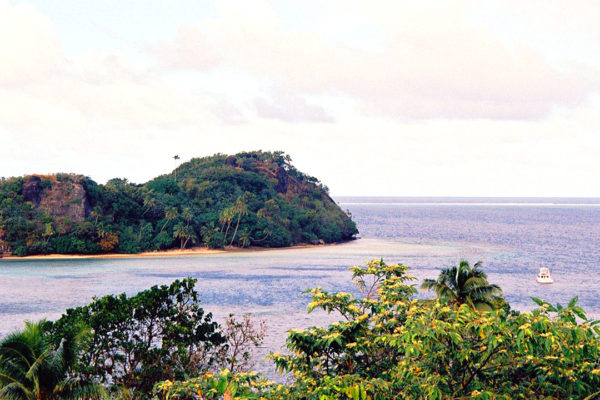
Fiji’s fourth largest island lies about 100 km south of Viti Levu, and is the least developed of the big ones: roughly ten thousand people live in some seventy coastal villages, there is essentially no road network, and travel between villages is by boat or on foot.
The draw is underwater — the Great Astrolabe Reef wraps the eastern and southern sides and encloses Ono and a scatter of smaller islands, with manta rays around Buliya, big-fish diving in the passages, and sea kayaking through the mangroves.
Kadavu escaped the mongoose, cane toads and mynas introduced elsewhere in Fiji, so four birds found nowhere else on earth still live in its rainforest — and the reef that made its name is called the Astrolabe after the ship the French explorer Dumont d’Urville very nearly wrecked on it in 1827.