
Wikimedia Commons / CC-BY-SA-3.0 / GFDL
Capital: Nuuk
Population: 56,000+
Language: Greenlandic
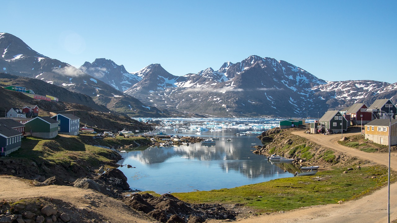
Greenland is the world’s largest island, about 80% ice.
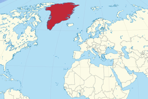
1 – Nuuk


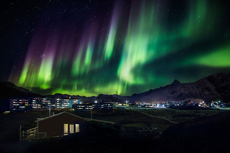
At the mouth of a fjord halfway up Greenland’s west coast, Nuuk was founded in 1728 as Godthåb by the missionary Hans Egede, who had landed in 1721 hoping to find the lost Norse, and today it’s the capital and home to about 20,000 people, more than a third of all Greenlanders.
Nuuk’s Greenland National Museum displays four of the Qilakitsoq mummies, Inuit who died around 1475 and were found near Uummannaq in 1972, and nearby are the colonial harbour, the Katuaq cultural centre of 1997 and the parliament, under the peak of Sermitsiaq.
In 2020 Egede’s statue in Nuuk was splashed with red paint and “decolonize”, and a local vote kept it, 923 to 600, and since the new runway opened in November 2024 United has flown in from Newark, as US interest in Greenland led to a security agreement, signed on 22 September 2026, that expands the American military presence while affirming Danish sovereignty.
2 – Kujataa
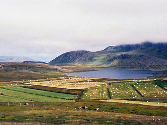

In the fjords of far southern Greenland, Kujataa is where Erik the Red, outlawed from Iceland, settled at Brattahlíð around 985 with the 14 of his 25 ships that made it, calling the land Greenland, the sagas say, because a good name would draw settlers.
Kujataa’s five UNESCO sites, listed in 2017, include the reconstructed church of Erik’s wife Thjodhild at Qassiarsuk, likely the first church in the Americas, the ruins of the bishop’s seat at Garðar, now Igaliku, from 1126, and Hvalsey church, the best-preserved Norse ruin in Greenland, among Inuit sheep farms still worked today.
A wedding at Hvalsey in September 1408 is the last recorded event of Norse Greenland, whose 2,500 or so people were gone by about 1450 — the old story that they starved rather than live off the sea doesn’t fit bones showing a diet heavy in seal — and one 2023 skull study suggests much of their ancestry came from Britain and Ireland.
3 – Ilulissat Icefjord
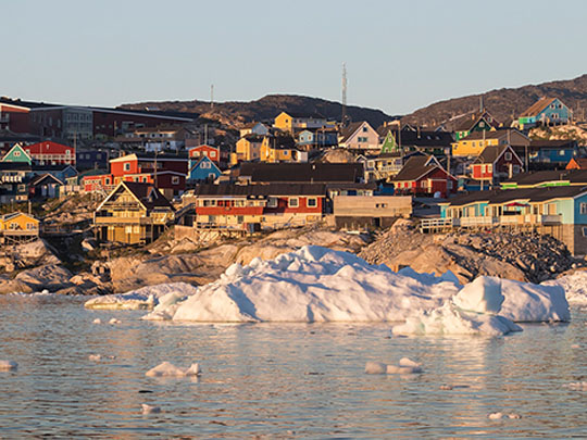
On Disko Bay about 250 km north of the Arctic Circle, Ilulissat was founded in 1741 as the trading post of Jakobshavn and is now Greenland’s third-largest town, beside an icefjord UNESCO listed in 2004 as the outlet of Sermeq Kujalleq, which delivers about a tenth of the ice sheet’s discharge to the sea.
From Ilulissat a boardwalk leads past Dorte Mandrup’s Icefjord Centre of 2021 to Sermermiut, where Saqqaq, Dorset and Thule people lived over almost 4,000 years, boats nose among the bergs at the fjord’s mouth, and from 29 October 2026 a new runway brings direct jets from Copenhagen.
Sermeq Kujalleq set the Guinness record for the fastest glacier, about 46 metres a day in summer 2012, before slowing after 2016, the explorer Knud Rasmussen was born in Ilulissat in 1879, and the claim that the Titanic’s iceberg came from here is only one theory among several.
4 – Kangerlussuaq
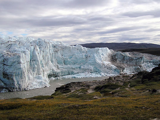
At the head of a fjord some 180 km long in west Greenland, Kangerlussuaq — “big fjord” — began in 1941 as the US airbase Bluie West Eight, picked for its calm inland weather, and served as Greenland’s main international airport until Nuuk took over in November 2024.
From Kangerlussuaq a gravel road built by Volkswagen for winter car testing runs out to the edge of the ice sheet at Point 660, musk oxen brought from the north-east in 1962–63 graze the valleys, and the 165 km Arctic Circle Trail sets off west to Sisimiut.
Kangerlussuaq’s dry, settled inland climate gives frequent clear winter skies for the northern lights, pictured — though the often-quoted “300 clear nights a year” has no data behind it — and with the airport traffic gone, the town’s population has fallen to about 400.
5 – Scoresby Sund
On Greenland’s remote east coast, Scoresby Sund — Kangertittivaq — runs about 350 km inland and is often described as the world’s largest fjord system, charted in 1822 by William Scoresby Jr, who named it after his father, a Whitby whaling captain.
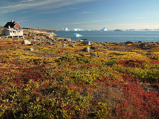
Expedition ships in Scoresby Sund land at Sydkap, pictured, a rocky cape with Thule-culture house ruins on the north side of the sound, and at its mouth Ittoqqortoormiit, home to about 350 people, lies 831 km from the nearest other settlement, with the world’s largest national park beyond it to the north.
Ittoqqortoormiit was settled in 1925 by about 70 Inuit brought from Tasiilaq by Ejnar Mikkelsen, amid a Danish–Norwegian rivalry over the east coast that ended in 1933, when the international court in The Hague ruled against Norway’s claim to “Erik the Red’s Land”.