
Wikimedia Commons / CC-BY-SA-3.0 / GFDL
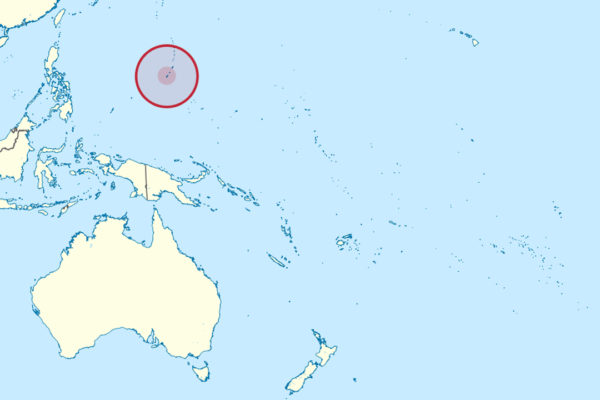
Capital: Hagåtña
Population: 150,000+
Language: English/Chamorro
1 – Ritidian Point (Litekyan)
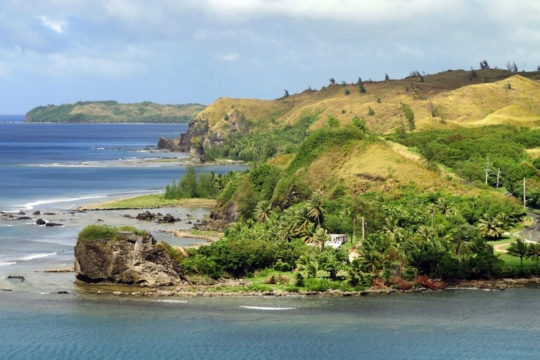
The northernmost tip of Guam, a limestone headland now inside the Guam National Wildlife Refuge, holds one of the most important archaeological sites in the western Pacific — a CHamoru village that predates the Spanish arrival by well over 600 years, and a fishing camp dated to roughly 3,300 years ago.
Free trails run from the visitor centre through limestone forest to two shallow caves painted with red, white and black figures, past pottery fragments and old wells; on a clear day you can see Rota, the nearest of the Northern Marianas, about 75 km across the water.
Standing in the forest here are latte stones — squat stone pillars topped with a cup-shaped capstone, which held CHamoru houses clear of the ground — an architecture found nowhere else on earth but the Mariana Islands, and still the islands’ defining symbol.
2 – Umatac (Humåtak)
A small village round a deep bay on the southwest coast, traditionally named as the spot where Magellan’s ships made landfall in March 1521 in the first European contact with the Marianas — though historians argue the actual anchorage was probably somewhere else on the coast.
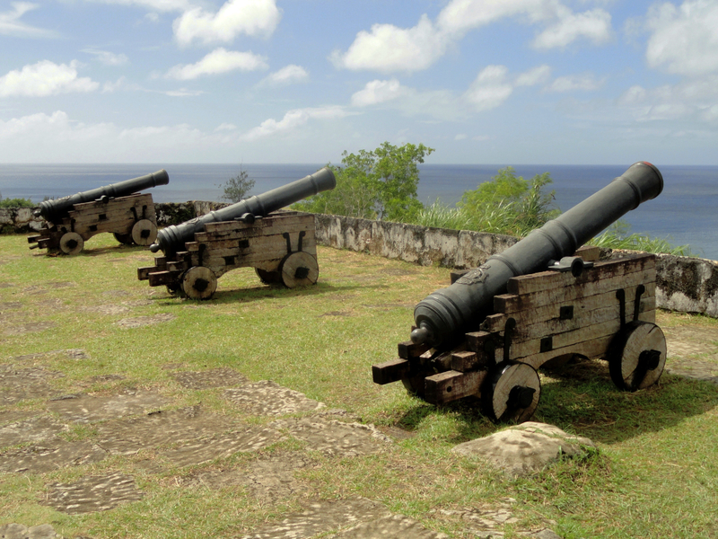
Fort Nuestra Señora de la Soledad sits on the bluff above the bay, the best preserved of four Spanish forts built here in the early 1800s to guard the anchorage, with its stone sentry box, replica cannon and a view straight down the bay to the San Dionisio church and the Magellan monument below.
Magellan’s crew fell out with the CHamoru over a stolen skiff and sailed off calling the whole archipelago Islas de los Ladrones, the Islands of Thieves — a name that stuck on European charts for the best part of three centuries before the Marianas replaced it.
3 – Hagåtña
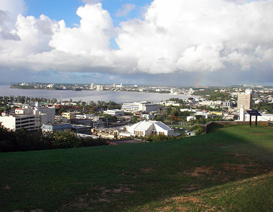
Guam’s capital sits at the mouth of a river on the west coast and has been the island’s seat of government since the Jesuits founded the first Spanish settlement here in 1668 — through more than two centuries of Spanish rule, the American takeover in 1898, and the Japanese occupation, when the town was renamed Akashi.
The Plaza de España holds what survived of the Spanish governor’s palace, including the arched Azotea and the little Chocolate House where governors received guests, with the Dulce Nombre de María cathedral-basilica beside it, a park of latte stones across the road, and Chamorro Village market a short walk away.
About 10,000 people lived here in 1940, close to half the island; American shelling in 1944 flattened the town, untangling who owned which plot proved close to impossible, and residents settled elsewhere — so the capital now has under a thousand people and is among the smallest anywhere.
4 – Asan Beach
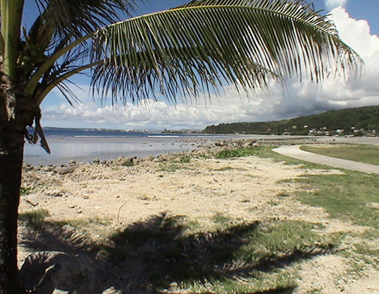
A curve of shoreline just west of Hagåtña between two coral headlands the Marines nicknamed the devil’s horns, this was one of two landing beaches when American forces came ashore on 21 July 1944 to retake Guam after two and a half years of Japanese occupation.
The Asan Beach unit of War in the Pacific National Historical Park keeps Japanese pillboxes, caves and gun emplacements in place along the shore and the ridge behind, and the Asan Bay Overlook above gives the whole sweep of the landing beaches with a memorial wall at the top.
The occupation meant forced labour, executions and, in its final weeks, the marching of much of the island’s CHamoru population into jungle internment camps — the largest at Manenggon held around ten thousand people — and the wall at the overlook carries the names of those civilians alongside the American dead, which is why 21 July is still the biggest day in Guam’s year.
Also of note: The jungle near Talofofo is where Shoichi Yokoi, the Japanese sergeant, hid during World War II and wasn’t found until 1972 — twenty-eight years after the war ended. His cave is a visitor site and the Guam Museum holds his belongings.