

Stefan Lins / Wikimedia Commons / CC-BY-SA-3.0 / GFDL
Capital: Majuro
Population: 40,000+
Language: Marshallese/English
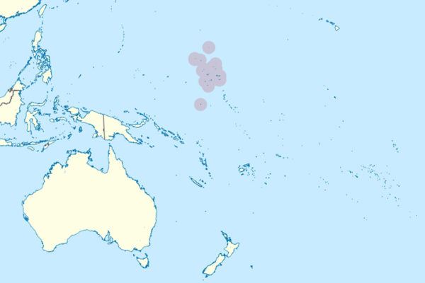
1 – Majuro
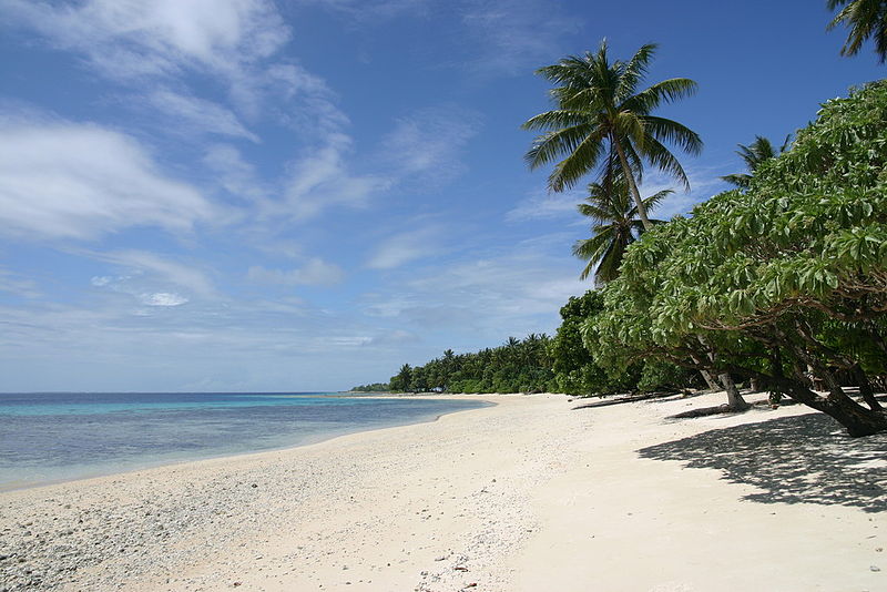
The capital is a ring of more than sixty islets around a wide lagoon in the eastern Ratak chain, holding the government, the port and well over half the country’s people on a strip of land rarely more than a few hundred metres across — the administrative centre through German, Japanese and American rule, and the seat of the republic since self-government in 1979.
A single road runs the length of the atoll from the crowded Delap-Uliga-Djarrit strip at one end out to Laura at the other, where the beach is the closest thing here to the postcard version, and the Alele Museum in Uliga is the national museum, archive and only public library rolled into one — alele means the basket a family keeps its treasures in.
Its best holdings are stick charts: frames of palm rib and cowrie shell that map not coastlines but the way ocean swells bend and rebound around low atolls — and they were never carried on voyages, being memorised on shore and left behind, each one so personal to its maker that often nobody else could read it.
2 – Kwajalein
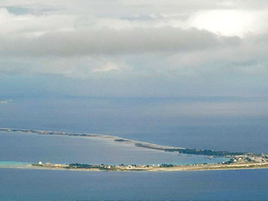
Ninety-odd islets strung around the largest lagoon of any atoll in the world, well over 1,500 square kilometres of enclosed water, Kwajalein was the headquarters of the Japanese force defending the Marshalls and fell to an American assault over four days at the start of February 1944.
The main island is a US Army base and most Marshallese on the atoll live on Ebeye, roughly eighty acres of land carrying many thousands of people after families were moved off other islets as the base expanded; out in the lagoon lies the German cruiser Prinz Eugen, which survived two atomic tests at Bikini, was towed here and capsized, and still breaks the surface.
The atoll’s modern job is to be a target: long-range missiles are fired clear across the Pacific from the United States to splash down in this lagoon, and the radars at the northern end of the atoll track objects far out in space, which makes it one of the most closely watched patches of ocean anywhere.
3 – Bikini Atoll
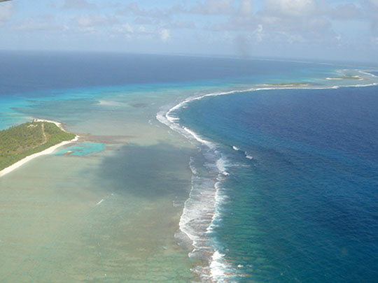

A ring of twenty-three islets in the northwest of the country, Bikini was emptied of its people in 1946 after they were asked to give up their home for the good of mankind; between then and 1958 the United States detonated 67 nuclear devices in the Marshall Islands, twenty-three of them here, including the 15-megaton Castle Bravo test of 1954 that destroyed three islands outright and carried fallout onto inhabited atolls downwind.
Nobody lives there now — families who returned in the 1970s had to be evacuated again when contamination proved too high — and the atoll was made a World Heritage site in 2010 for what it preserves: the Bravo crater, and a ghost fleet of warships sunk in the 1946 tests, among them the carrier Saratoga and the Japanese battleship Nagato.
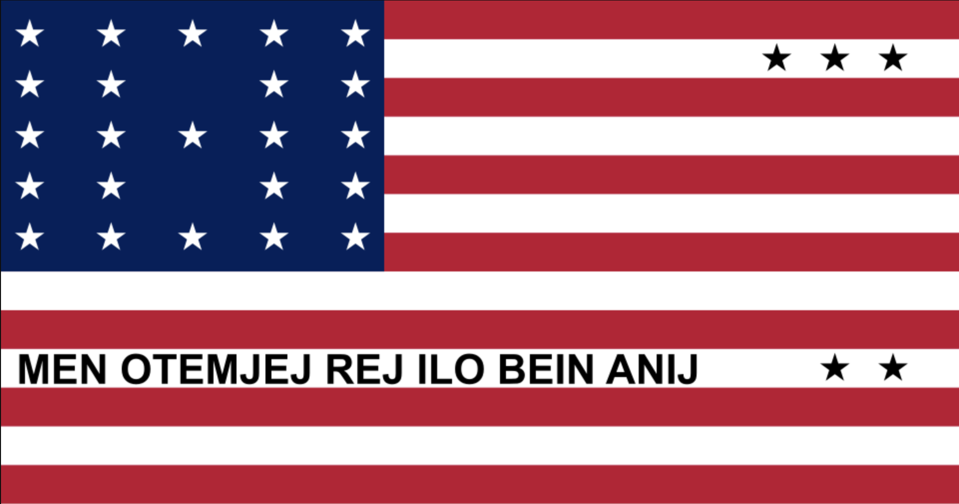
Bikini has its own flag, adopted in 1987 and deliberately modelled on the Stars and Stripes: twenty-three white stars for the islands of the atoll, three black stars for those destroyed by Bravo, two more set far apart for the places its people live now, and along the bottom the words their leader gave the Americans in 1946 — everything is in the hands of God. The swimsuit was named after the atoll within days of the first test.
Also of note: Enewetak was where the first hydrogen bomb was detonated in 1952, and where the Runit Dome — a concrete lid over contaminated debris, locally called the Tomb — still sits on a crater.