
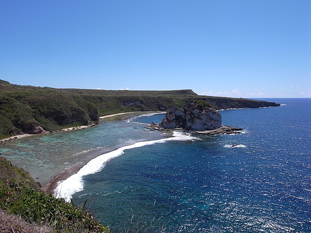
Wikimedia Commons / CC-BY-SA-3.0 / GFDL
Capital: Saipan
Population: 47,000+
Language: English, Chamorro, Carolinian
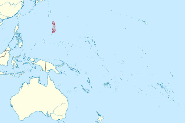
1 – Saipan (also above)
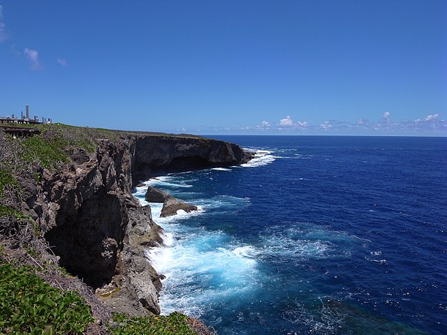
Saipan, the largest of the Northern Mariana Islands, was settled by the ancestors of the Chamorro people about 3,500 years ago and passed from Spain to Germany in 1899, then to Japan in 1914, which ruled it under a League of Nations mandate from 1920 as a sugar colony where Japanese and Okinawan settlers came to outnumber islanders.
Mount Tapochau, Saipan’s highest point, takes in the whole island, while the Last Japanese Command Post sits among boulders at the northern tip, the Grotto, a collapsed limestone sinkhole linked to the sea by underwater tunnels, is a celebrated cave dive, and the NMI Museum of History and Culture is in Garapan.
Saipan fell to American forces after a battle from 15 June to 9 July 1944 that put Japan within range of B-29 bombers, though Captain Sakae Ōba held out in the jungle with soldiers and civilians for 512 days, finally marching out with 46 men on 1 December 1945, three months after Japan’s surrender.
2 – Suicide Cliff
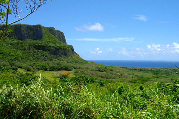
Suicide Cliff, a high limestone escarpment at Marpi on Saipan’s northern tip, is where the last Japanese positions were pushed back in July 1944, and where hundreds of Japanese soldiers and civilians, by some estimates more than a thousand, took their own lives rather than be captured, as others did at Banzai Cliff on the coast just north.
Suicide Cliff and Banzai Cliff both lie within a National Historic Landmark district designated in 1985, with a road climbing to the clifftop, where memorials, statues and shrines line the edge above the coastal plain and the reef.
Many of those who died at Suicide Cliff had been told that capture meant torture and death, while American interpreters with loudspeakers urged them to surrender, and in 2005 Emperor Akihito and Empress Michiko came to pray at the cliffs.
3 – Managaha
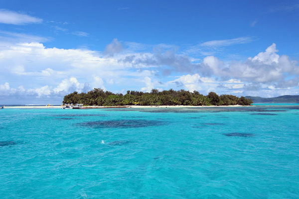
Managaha, a small islet in Saipan’s western lagoon, is sacred ground to the Carolinian people as the burial place of Chief Aghurubw, who by tradition led his people from Satawal in the Caroline Islands to Saipan in the early 1800s after a typhoon devastated their home, following long-established Carolinian sailing routes.
Managaha is listed on the National Register of Historic Places as a historic district and lies within a no-take marine conservation area, so snorkelling straight off the beach is excellent, while a statue of Aghurubw stands among the trees near two Japanese coastal guns in concrete casemates.
The Carolinians who followed Aghurubw to Managaha and Saipan kept their own language, which became one of the three official languages of the Northern Mariana Islands, alongside English and Chamorro.
4 – Micro Beach

Micro Beach lies at Garapan on Saipan’s west coast, beside the site of Arabwal, the first village of the Carolinian settlers of the early 1800s, whose name for a beach vine, the beach morning glory, grew into the name Garapan.
Micro Beach is a popular sunset spot and a calm place to swim, with American Memorial Park immediately behind it honouring the Americans and Marianas people who died in the 1944 campaign.
By the late 1930s, the town of Garapan behind Micro Beach had more than 14,000 people, mostly Japanese, as the seat of the colonial government, but the 1944 battle levelled it, and residents only began returning in the 1960s.
5 – Tinian
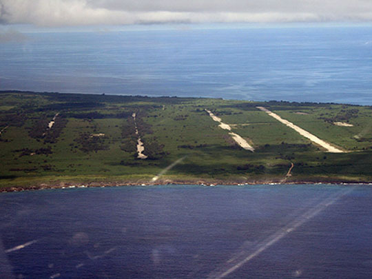
Tinian, about 5 km across the channel from Saipan, was a Japanese sugar island until US Marines landed on 24 July 1944 over two narrow beaches the defenders had discounted, and from its North Field, widely described as the largest airfield in the world in 1945, the B-29s Enola Gay and Bockscar flew to Hiroshima and Nagasaki in August 1945.
On Tinian the two atomic bomb loading pits survive beside the four runways of North Field, sheltered by glazed panels, while the House of Taga near San Jose holds the largest latte stones in the Marianas, ancient Chamorro pillars of which only one of the original twelve stands upright.
Because Tinian’s shape reminded them of Manhattan, the Seabees named its roads after New York streets, among them Broadway, Riverside Drive, 42nd Street and 8th Avenue, a choice that had nothing to do with the Manhattan Project whose bombs later left from the island.