
Wikimedia Commons / CC-BY-SA-3.0 / GFDL
Capital: Saipan
Population: 45,000+
Language: English/Chamorro/Carolinian
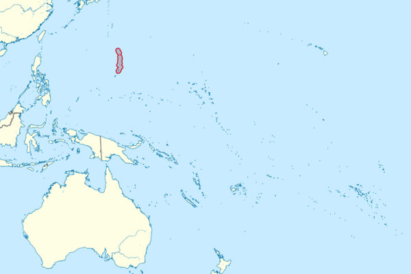
1 – Saipan (also above)
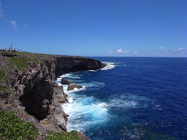
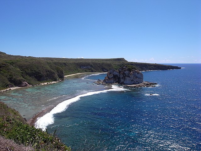
The largest island of the commonwealth has been Chamorro land for well over three thousand years and passed from Spain to Germany to Japan, which held it under a League of Nations mandate from 1920 and turned it into a sugar colony where settlers came to outnumber islanders — then fortified it heavily, because losing Saipan would put Japan itself within reach of American bombers, which is exactly what happened after the battle of June and July 1944.
Mount Tapochau in the middle of the island gives the whole thing at once, the Last Japanese Command Post sits among boulders at the northern end, the Grotto is a collapsed limestone cavern connected to the sea and one of the best-known cave dives anywhere, and the museum in Garapan holds the rest.
One Japanese officer never got the message: Captain Sakae Ōba took to the interior with a few dozen men and a group of civilians, evaded American patrols for 512 days and only surrendered on 1 December 1945, three months after the war ended — the Marines who had hunted him held a dinner in his honour before he sailed home.
2 – Suicide Cliff
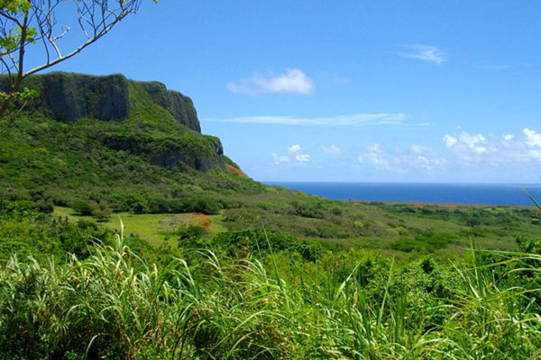
A limestone escarpment at Marpi Point on Saipan’s northern tip, where the last Japanese positions were pushed back against the sea in July 1944, and where hundreds of Japanese soldiers and civilians took their own lives rather than be captured, as did others at Banzai Cliff a kilometre away on the shore below.
The clifftop is now a national historic landmark reached by a road up through the scrub, with the coastal plain and the reef spread out beneath and a scatter of obelisks, Buddhist shrines and stone figures along the edge.
Those who died had been told by their own side that capture meant torture and death, and American troops stood below with loudspeakers trying to talk them down — the memorials here were raised afterwards by Japanese, Korean and Okinawan families as well as Americans, and relatives still come every year to leave flowers.
3 – Managaha
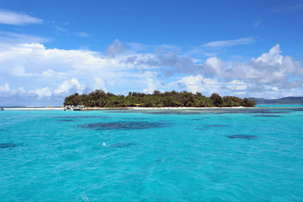
A sand cay of barely thirteen acres sitting in Saipan’s western lagoon, Managaha is sacred ground to the Carolinian people, being the burial place of Chief Aghurubw — the navigator who led his people here from Satawal in the Caroline Islands after a typhoon destroyed their home in 1815, sailing a route their ancestors had used for centuries.
The whole islet is on the National Register of Historic Places and is a no-take marine reserve, so the snorkelling straight off the beach is exceptional; a statue of the chief stands among the trees, wedge-tailed shearwaters nest in burrows on the eastern side, and two huge Japanese guns still point out towards the harbour.
One of those guns carries its own manufacturing plate: a six-inch piece cast at the Kure naval works in Japan and dated to 1902 — older than either world war, and shipped here decades later to defend an island that would be shelled from beyond its range.
4 – Micro Beach

A kilometre of white sand at Garapan on Saipan’s west coast, this is where Aghurubw’s Carolinians came ashore in 1815 and built their first village — the name Garapan comes from their word for a heart-leaved vine that grew along this beach.
The beach is the island’s sunset spot and its calm-water swim, with the American Memorial Park immediately behind it commemorating the American and Marianas dead of the 1944 campaign, and the shops and restaurants of the Paseo de Marianas a short walk inland.
By the mid-1930s the town behind this beach had around 14,000 people, a cinema, a hospital, a newspaper and a courthouse, and was known as the Tokyo of the South Seas — the battle levelled it completely, the ruins stood empty into the late 1960s, and what you walk through today is entirely a rebuild.
5 – Tinian
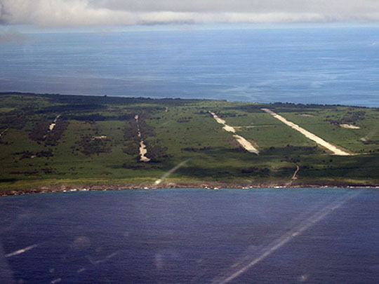
Five kilometres across the strait from Saipan, Tinian has been Chamorro land for some three thousand years and was a Japanese sugar island until American Marines took it in July 1944, landing over two narrow strips of sand the defenders had dismissed as unusable — after which the Seabees turned almost the entire island into North Field, briefly the largest and busiest airfield on earth, and it was from here that the B-29s Enola Gay and Bockscar flew to Hiroshima and Nagasaki in August 1945.
The two bomb loading pits survive beside the old runway, sealed under glass with plaques explaining them, the four abandoned runways can still be driven, and at the southern end of the island the House of Taga holds the largest latte stones in the Marianas — twelve were raised, and one is still standing.
The Seabee officer who planned the base was a New Yorker, and looking at a captured Japanese map he decided the island was roughly the size and shape of Manhattan, so he laid out the roads to match — Tinian has a Broadway and an 8th Avenue, a 42nd Street and a Riverside Drive, an undeveloped middle called Central Park and a village nicknamed Greenwich, and the echo of the Manhattan Project appears to be pure coincidence.