
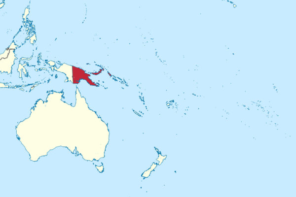
Stefan Krasowski / Wikimedia Commons / CC-BY-SA-3.0 / GFDL
Capital: Port Moresby
Population: 10.1 million+
Language: Hiri Motu/Tok Pisin/Papua New Guinean Sign Language/English
1 – Rabaul Volcano (also above)
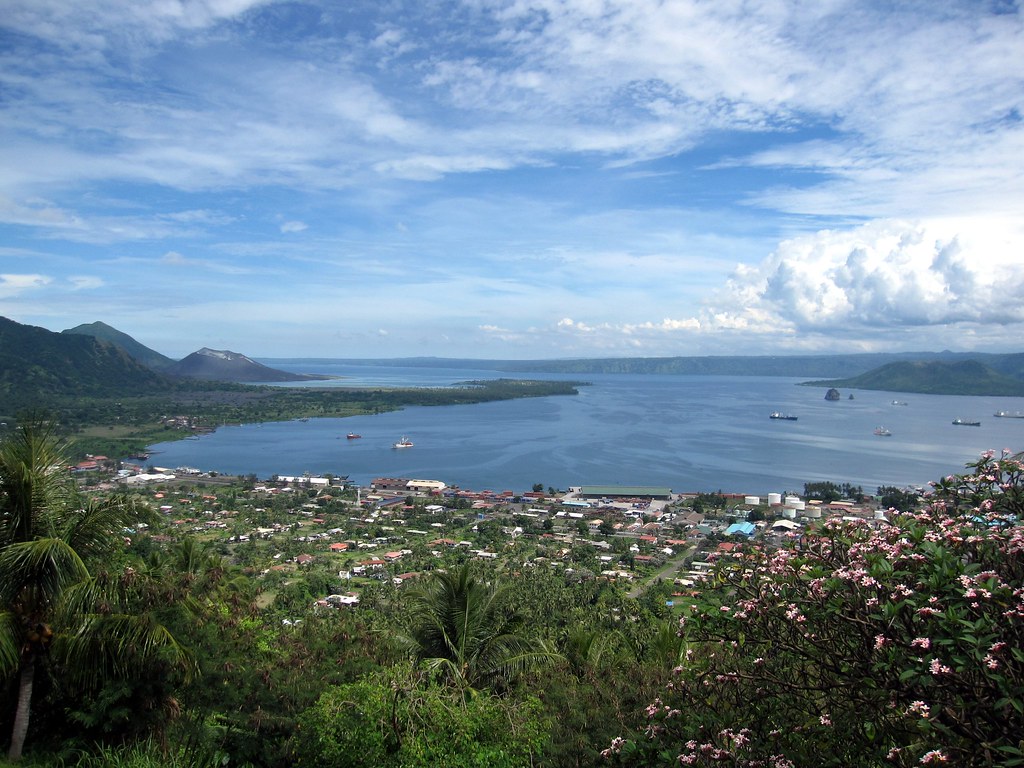
Rabaul sits inside a flooded caldera on the Gazelle Peninsula of New Britain, one of the finest natural harbours in the Pacific, which made it the German colonial capital, then the great Japanese base of the South Pacific — it was from Rabaul’s airfield that Admiral Yamamoto took off in April 1943 on the flight in which he was shot down.
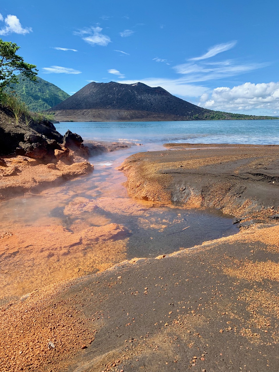
Tavurvur still steams on the eastern rim and can be walked up, the old town lies half-buried in grey ash like a modern Pompeii, and the hillsides behind hold kilometres of Japanese wartime tunnels dug by hand.
When Tavurvur and Vulcan erupted together on 19 September 1994 they destroyed most of a town of tens of thousands — but almost nobody died, because the people did not wait for the authorities: they remembered what their parents had told them about the same two cones erupting in 1937, saw the signs, and walked out overnight.
2 – Kimbe Bay
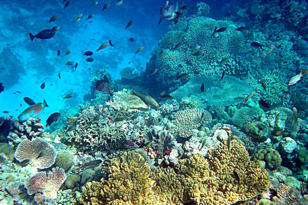
Papua New Guinea sits at the eastern apex of the Coral Triangle, the richest marine region on earth, and its single most extraordinary stretch is Kimbe Bay on the north coast of New Britain — a wide bay ringed by volcanoes with dozens of submerged seamounts rising out of deep water.
Divers come for those seamounts and for the fringing reefs and wartime wrecks; Milne Bay at the far eastern end of the country is the other great site, and both are reached from a handful of small lodges rather than any resort strip.
Around sixty per cent of all the coral species found in the entire Indo-Pacific live in this one bay, alongside some 860 species of reef fish — a concentration so high that some scientists have argued reef-building corals may have originated in these waters and spread outwards from here.
3 – Port Moresby
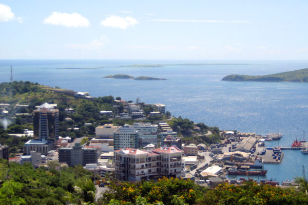
The capital stands on a harbour on the south coast, on land held for centuries by the Motu and Koitabu people, and takes its name from the Royal Navy captain who sailed in during 1873 and named it after his father; it has no road link to the Highlands or to Lae, so the rest of the country is reached by air.
The National Museum and Art Gallery holds the best collection of Sepik and Highlands work in the country, the Nature Park has cassowaries and tree kangaroos, and Owers’ Corner an hour east is where the Kokoda Track begins.
Long before any of that, the Motu ran the hiri: every year men sailed west in lakatoi, huge lashed-together multi-hulled canoes loaded with thousands of clay pots, traded them for sago and canoe logs, and waited months for the wind to reverse before sailing home — a voyage still re-enacted each year at the Hiri Moale festival.
4 – Highlands
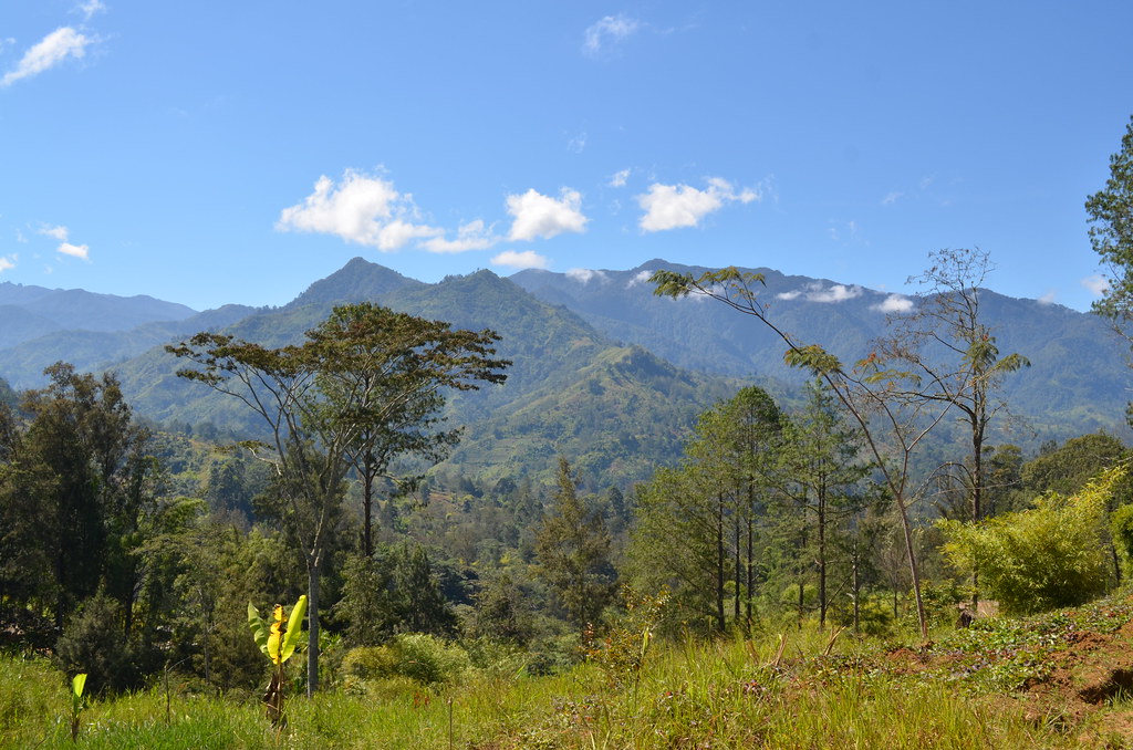
The long chain of fertile valleys running through the middle of the island was farmed for around nine thousand years before Europeans knew anyone lived there — the drained garden ditches at Kuk are World Heritage listed as one of the few places on earth where agriculture was invented independently.
Mount Hagen and Goroka hold the great sing-sings, where scores of groups arrive in feathers, shell and clay to dance against each other, and the Highlands Highway runs through coffee country between them.
Australian gold prospectors walked into these valleys in the early 1930s expecting empty mountains and found around a million people who had no idea the outside world existed — Michael Leahy filmed and photographed the encounters as they happened, and fifty years later a documentary crew tracked down his footage and interviewed the Highlanders who remembered it.
5 – Tufi Fjord
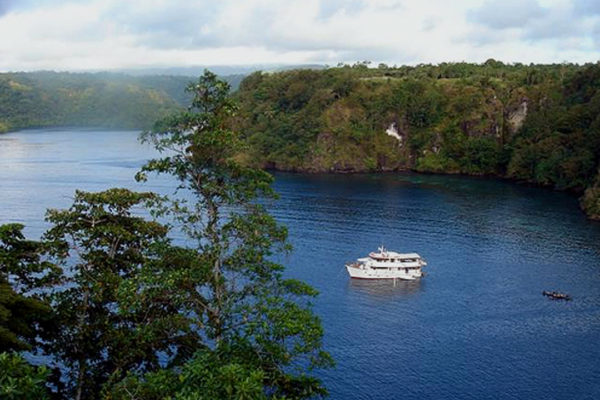
On Cape Nelson in Oro Province, a set of nine deep, narrow inlets cut into a coastline of rainforest cliffs — over 90 metres deep with walls rising 150 metres above the water — and in December 1942 the largest of them became a forward base for American PT boats supporting the fighting at Buna and Gona.
Villages around the inlets are reached by outrigger, the women here still make tapa cloth from beaten mulberry bark, and the diving takes in offshore reefs, wartime aircraft and two PT boats that caught fire at the wharf in 1943 and lie at fifty metres.
Everyone calls them fjords, but no glacier has ever been near them: they were formed when lava from three volcanoes poured into the Solomon Sea and left long gorges behind, making them rias rather than fjords, and about the only warm-water version of the landscape anywhere.