
Wikimedia Commons / CC-BY-SA-3.0 / GFDL
Capital: Each atoll has its own administrative centre and the role rotates annually between the three.
Population: 1,500+
Language: Tokelauan & English

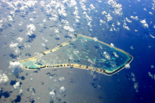
1 – Fakaofo (also above)
The southeasternmost of Tokelau’s three atolls, settled from Samoa around a thousand years ago, Fakaofo was the chiefly atoll that came to dominate the other two — until 1863, when Peruvian slave ships took away nearly every able-bodied man in the group, the chiefly system collapsed with them, and government passed to the councils of elders that still run each atoll today.
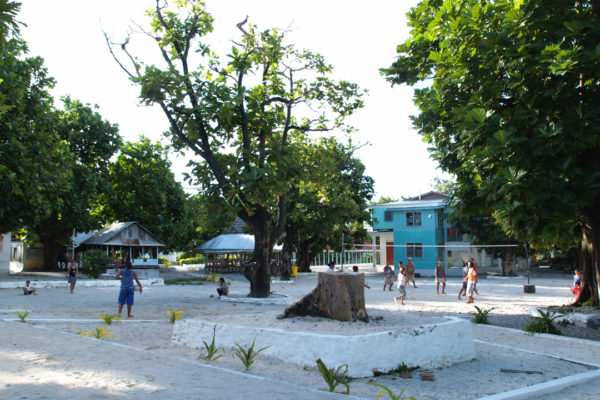
Almost everyone lives on Fale, an islet of a few hectares so tightly packed that a second village was built on Fenua Fala two kilometres across the lagoon in the 1960s; the atoll has 43 islets in total and nothing on it stands more than a few metres above the sea.
Standing in the village is a slab of coral that once personified Tui Tokelau, the chief god of the islands before Christianity: every May people came from all three atolls to bring fish, coconuts and pandanus, wrap the stone in fine mats and ask for protection for the year ahead, and the slab is still there.
2 – Atafu
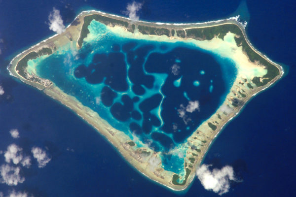
The smallest and most northwesterly of the atolls, Atafu was the first of the group seen by Europeans, when Commodore John Byron came past in June 1765, named it Duke of York’s Island and found nobody living on it — the earlier inhabitants having been driven off in inter-atoll fighting, with the present community established from Fakaofo and Nukunonu in the early 1800s.
One village occupies the northwestern corner of the atoll, tight rows of houses around a large white Congregational church, with a lagoon of about 15 square kilometres inside a ring of 42 islets and the highest ground barely five metres up.
Atafu still organises itself around the Fale Fitu, the Seven Houses — the kindreds descended from the seven children of Tonuia and his wife Lagimaina, who founded the village — and the genealogies are not obscure or contested but common knowledge, so most people here can place themselves precisely within a family tree two centuries deep.
3 – Nukunonu
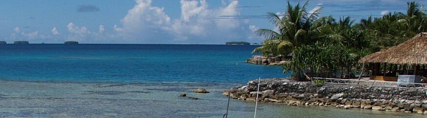
The largest of the three atolls in both land and lagoon, Nukunonu sits in the middle of the group and was charted in 1791 by Captain Edward Edwards of HMS Pandora, who named it Duke of Clarence Island in passing while hunting the mutineers of the Bounty.
Two settlements, Nukunonu village and Motuhaga, sit on neighbouring islets joined by a causeway, with a lagoon of over 100 square kilometres inside a ring of some 30 islets; almost the whole population is Catholic, following the Samoan missionaries who reached here in the 1840s, and the church is the centre of the village.
Tokelau’s internet suffix, .tk, was for years the most heavily registered country domain on earth — the territory licensed it to a company that handed out addresses for nothing and charged only for full ownership, and at its height there were tens of millions of .tk sites worldwide, from a territory of around fifteen hundred people, with the fees making up a serious share of the national income.