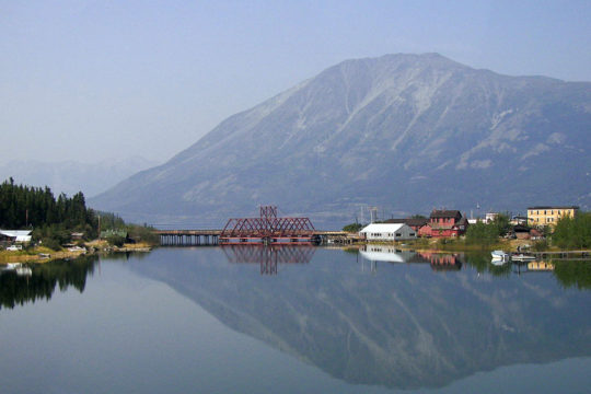
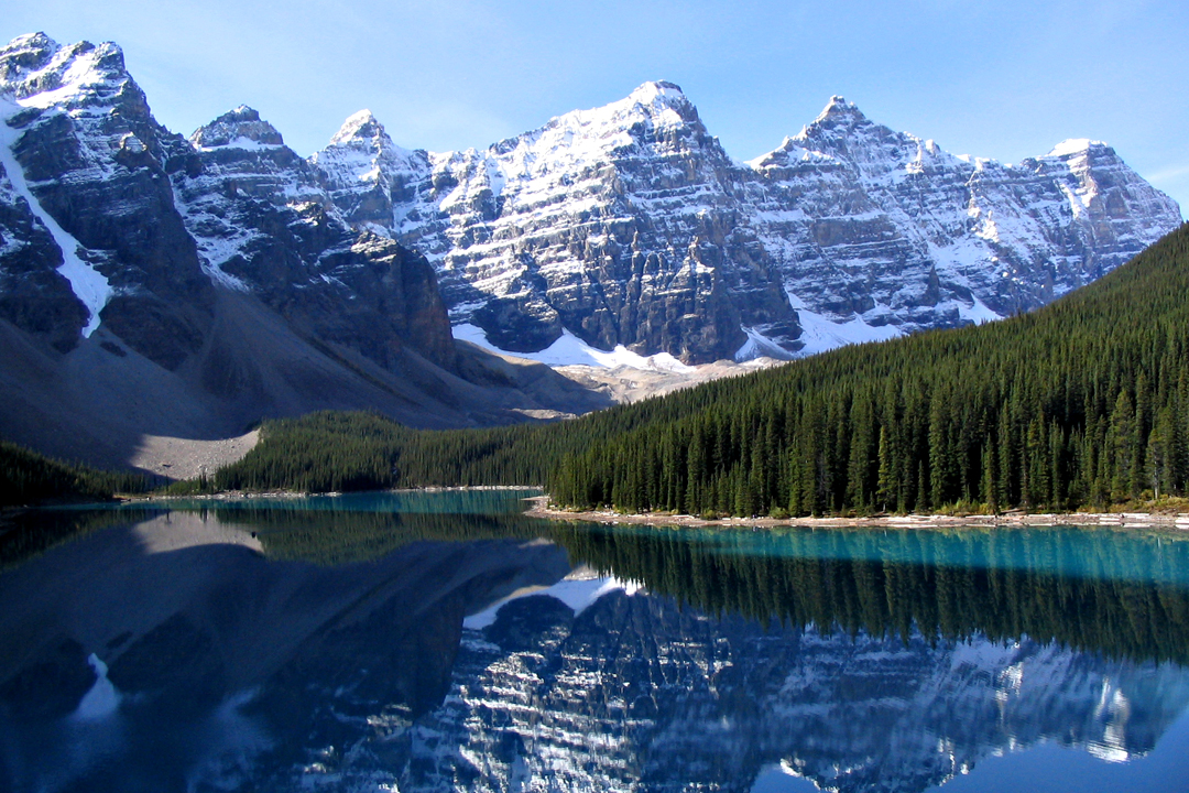
Wikimedia Commons / CC-BY-SA-3.0 / GFDL
Capital: Toronto
Population: 35 million+
Language: English/French
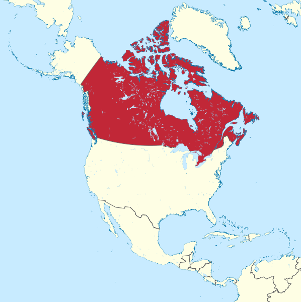
Click here to see each Canadian state.
1 – Alberta (also above)
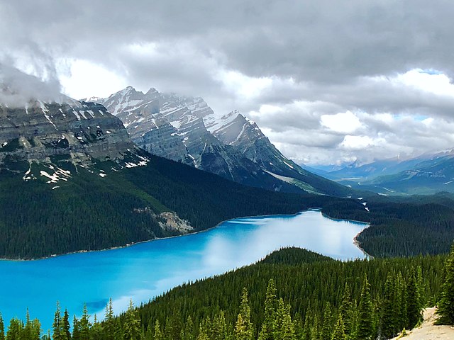
(click here to see more of this state)
2 – British Columbia
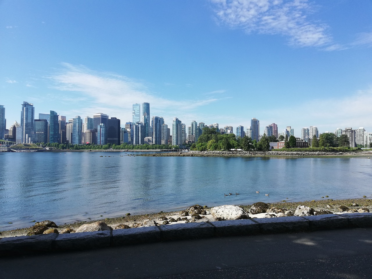
(click here to see more of this state)
3 – Manitoba
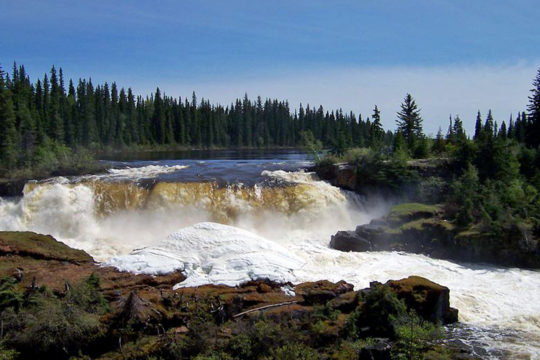
(click here to see more of this state)
4 – New Brunswick
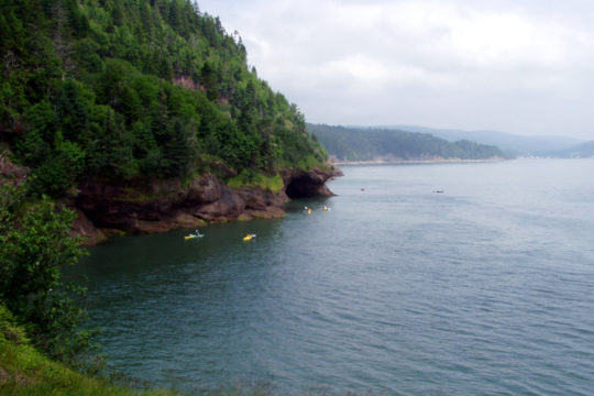
(click here to see more of this state)
5 – Newfoundland
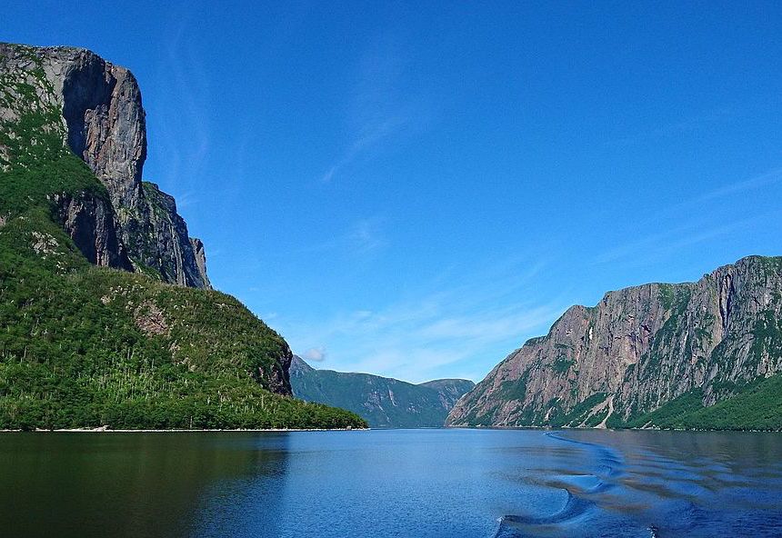
(click here to see more of this state)
6 – Northwest Territories
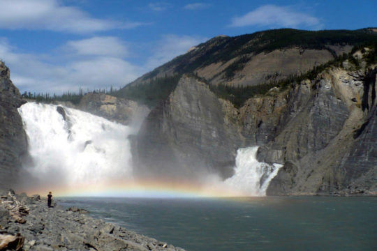
(click here to see more of this state)
7 – Nova Scotia
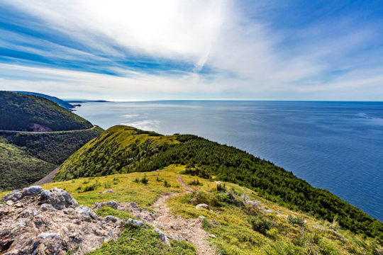
(click here to see more of this state)
8 – Nunavut
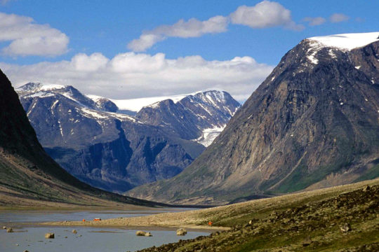
(click here to see more of this state)
9 – Ontario
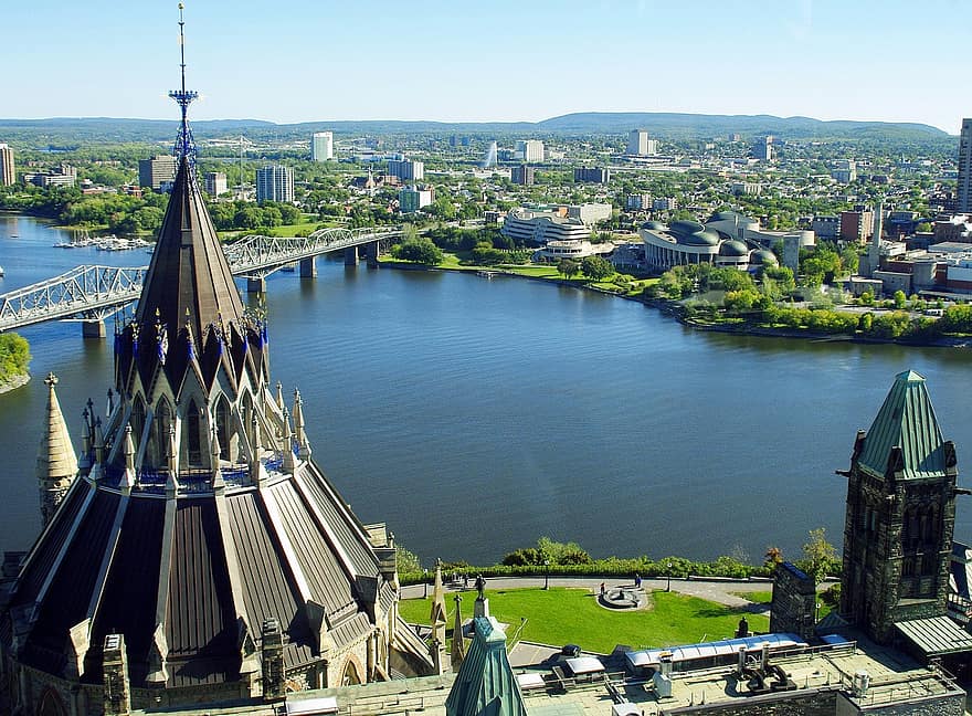
(click here to see more of this state)
10 – Prince Edward Island
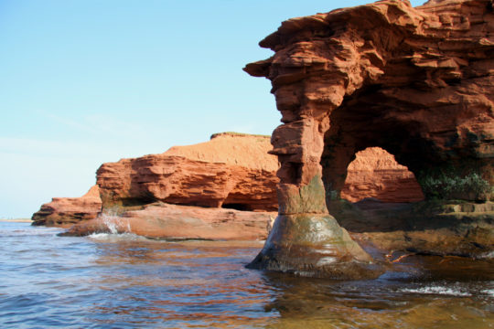
(click here to see more of this state)
11 – Quebec

(click here to see more of this state)
12 – Saskatchewan
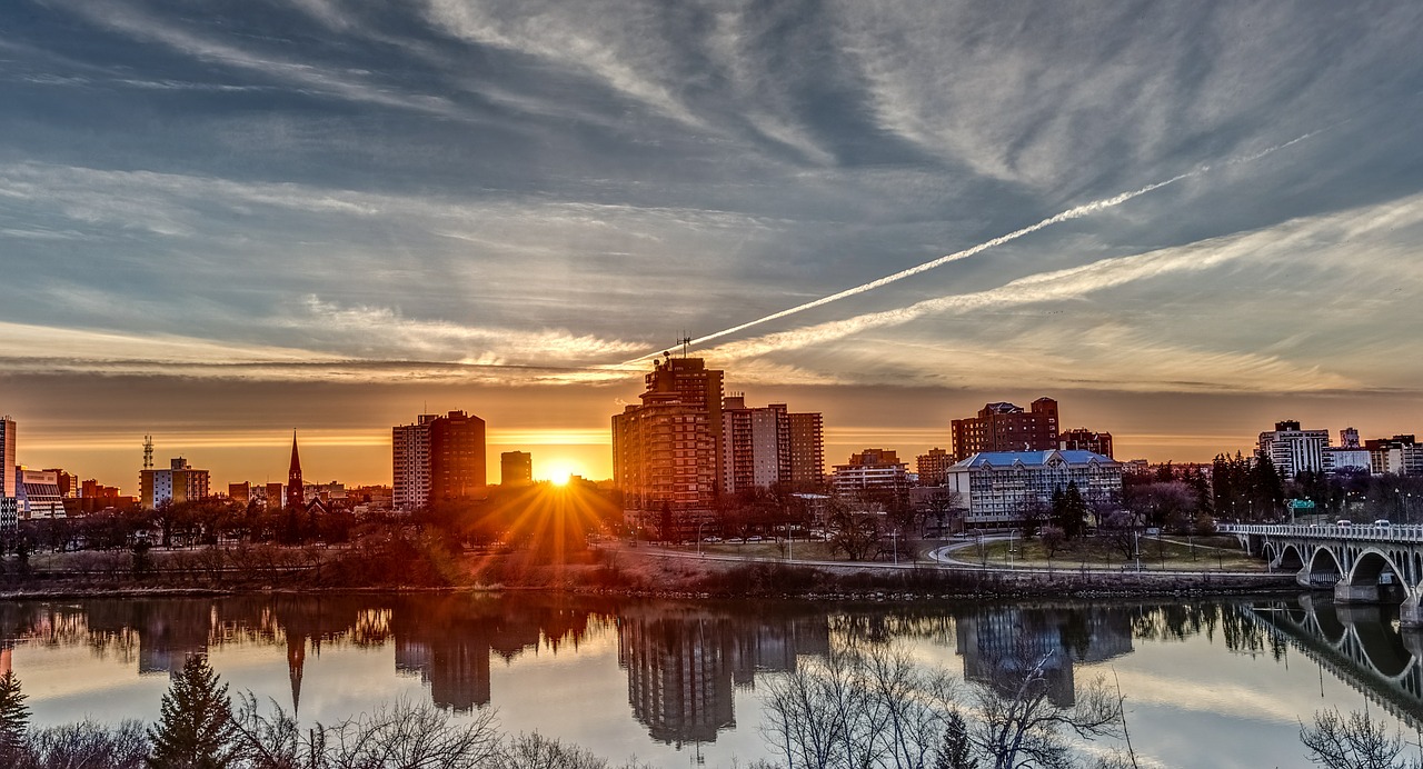
(click here to see more of this state)
13 – Yukon
